
This story will update with new information.
Amidst another night of severe weather, much of central Indiana was sent to the basement at one point or another on June 17 due to looming tornado threats.

One confirmed tornado touched down north of Bloomington in Monroe County just before 10 p.m., crossing Interstate 69 and toppling trees and power lines.
Other potential twisters across the state are under inspection from the National Weather Service, which will assess when and where tornadoes may have touched down, and how strong they were. NWS Indianapolis is surveying Brown, Clay Jackson and Monroe Counties and hopes to have new findings by the late afternoon, meteorologist Jason Puma told IndyStar.
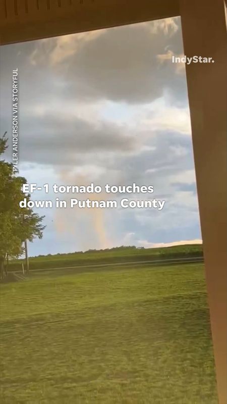
NWS issued 15 tornadoes warnings as storms rolled through Wednesday night into early Thursday, Puma said. Counties with tornado warnings included Clay, Parke, Vigo, Putnam, Owen, Sullivan, Greene, Johnson, Shelby, Monroe, Morgan, Bartholomew, Brown, Knox, Daviess, Jennings, Lawrence and Decatur.
As of 11:30 a.m. on June 18, NWS had not released a complete list of confirmed tornadoes.
Here’s when potential tornadoes occurred in Indiana last night, according to IndyStar reporting and NWS data.
When did radar detect potential tornadoes in Indiana? A timeline of events
9:09 p.m.: Radar indicated a thunderstorm capable of producing a tornado was located 10 miles southeast of Terre Haute and moving east at 40 mph. The radar captured rotation.
9:15 p.m.: Radar identified a severe thunderstorm capable of producing a tornado near Marshall, moving east at 45 mph. The radar captured rotation.
9:38 p.m.: Radar indicated rotation was spotted in a severe thunderstorm located near Franklin, 19 miles south of Indianapolis, moving east at 45 mph.
9:43 p.m.: Radar detected a severe thunderstorm capable of producing a tornado 12 miles northeast of Sullivan, about 15 miles south of Terre Haute, moving east at 40 mph.
9:44 p.m.: Radar identified a severe thunderstorm capable of producing a tornado 12 miles south of Brazil, about 19 miles southeast of Terre Haute, moving east at 20 mph.
9:48 p.m.: A severe thunderstorm capable of producing a tornado was spotted about 8 miles east of Spencer, or roughly 12 miles northwest of Bloomington. The storm was moving east at 45 mph, and radar indicated rotation.
9:55 p.m: A “significant tornado” hit north of Bloomington, NWS confirmed, moving across northern Monroe County and crossing I-69. It continued moving east across the state at around 45-55 mph, passing through areas near Martinsville, Nashville, Columbus, Sullivan, Linton, Seymour and Bedford and prompting tornado warnings until around 11:49 p.m.
Click here to see an interactive map of all tornadoes the National Oceanic and Atmospheric Administration has tracked in Indiana since 1950.
Mia Thurow is the breaking news and criminal justice reporting intern for The Indianapolis Star. She can be reached at mthurow@gannett.com.
This article originally appeared on Indianapolis Star: Radar detected tornadoes across Indiana last night. When and where were they?
Reporting by Mia Thurow, Indianapolis Star / Indianapolis Star
USA TODAY Network via Reuters Connect
By Mia Thurow, Indianapolis Star | USA TODAY Network