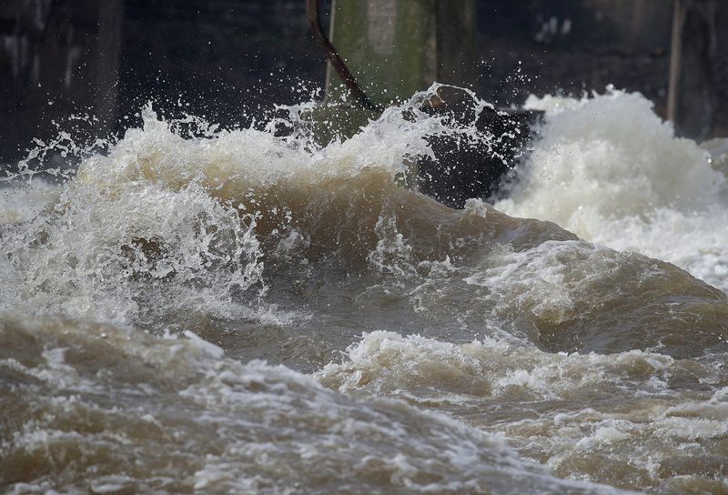
An overnight thunderstorm brought significant flooding and hail in Appleton, causing some delays for area schools and road closures.
The Appleton area got 1.42 inches of rainfall last night, said Kira Jesse, a meteorologist at the National Weather Service Green Ba, on April 14. More scattered rain is on the way throughout the week, which could lead to continued flooding levels.

Here is a list of road and school closings in the area, and how much more rain is expected to hit the area.
Where to find sandbags
Several fire departments will have sandbags available and are looking for volunteers to help fill them up.
Evacuations around the Wolf River, ‘imminent failure’ of dam
At 10:30 a.m., the Weyauwega Area Fire Department announced evacuations are starting along the Wolf River because of a possible dam failure on the Little Wolf River below Big Falls Dam. The following roads are in the evacuation area. Residents should take important items like wallets, medications, pets, and phones and leave immediately. The Weyauwega City Hall is open to people.
The National Weather Service Green Bay issued a flash flood warning until midnight after Waupaca County Emergency Management reported an “imminent failure” of Big Falls Dam.
Clintonville schools, roads close
Meanwhile, flooding was also an issue in Clintonville. The Clintonville Police Department made sandbags available. Residents can pick them up at the Clintonville Library parking lot or Embarrass Volunteer Fire Department.
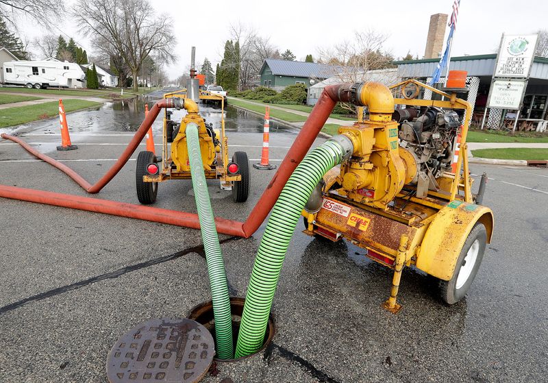
As of 10:30 a.m. April 14, multiple parts of Main Street, and the Main Street bridge in Clintonville, are closed. The detour for southbound traffic is Green Tree Road to Hemlock Street to Eighth Street back to Main Street. Northbound drivers should go to Eighth Street to Hemlock Street to Green Tree Road back to Main Street.
All Clintonville schools are closed April 14 and the building will be used as evacuation sites for the public. The Clintonville High School cafeteria was made open to the public. Marion Elementary nearby also closed school for the day and became a community emergency shelter.
Road closures in Fox Valley area
The state Department of Transportation announced closures of the following roads at 6 a.m. for flooding. They remained closed as of 10:15 a.m.:
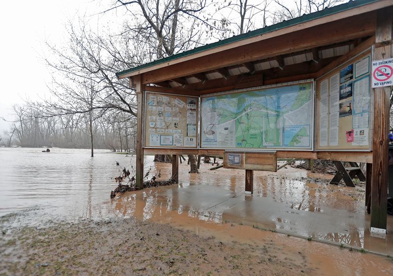
Additionally, a trail to the fishing pier at 1000 Islands Environmental Center is Kaukauna is closed and there is standing water beyond the boardwalk.
Will we get more rain this week?
The Appleton area has an active forecast for the rest of the week. While the greatest rain is estimated in southern Wisconsin, more rain and thunderstorms are also expected across Outagamie County.
Tuesday, April 14 will have shorter time frame for heavy rain between 6 and 10 p.m., Jesse said. She said the area could get another inch or two, so a flood advisory is in effect until 10 a.m. and a flood watch is in place until 7 a.m. April 15. The flood watch is for Brown, Door, Kewaunee, Manitowoc, Winnebago, Calumet and Outagamie counties. Large hail will also be a threat again Tuesday night.
“Last night was more of a longer event as far as rain and storms,” Jesse said. “Today would probably be a much shorter one.”
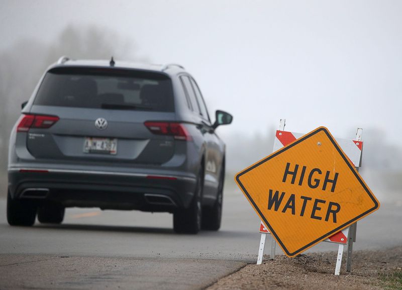
Northern Outagamie, Waupaca and Shawano counties face more significant water levels from the Wolf River. A flood warning is in place for the areas until 7 p.m. April 14.
Rain is also in the forecast for April 15, April 17 and 18, so flooding could last throughout the week. Water levels were already high from recent storms and large amount of snowmelt after the blizzard.
“Flooding to this extent is not something we typically see in northeast Wisconsin. We usually don’t have the conditions that set this up so maybe people aren’t as familiar with what to do or the risk,” Jesse said.
Weather radar
Contact Benita Mathew at bmathew@usatodayco.com.
This article originally appeared on Appleton Post-Crescent: Thunderstorms cause flooding across Fox Valley, here’s what to know
Reporting by Benita Mathew, Green Bay Press-Gazette / Appleton Post-Crescent
USA TODAY Network via Reuters Connect