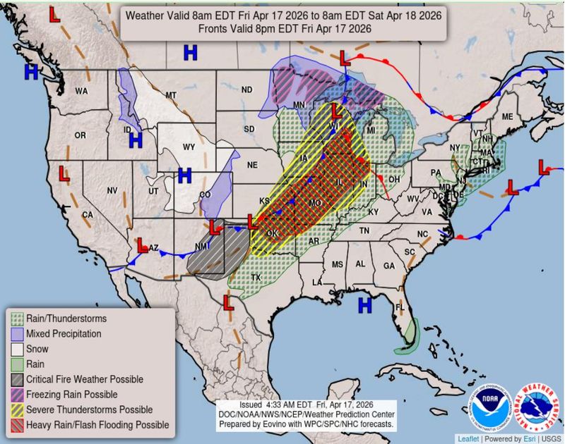
Thunderstorms could once again roll through metro Detroit in early morning hours of Saturday, April 18.
The National Weather Service office in White Lake is predicting up to a half-inch of rainfall in metro Detroit, with thunderstorms expected between 3 a.m. and 8 a.m. Saturday morning, said meteorologist Steve Considine.

How much rain is expected — and will storms be severe?
“We’re not expecting severe weather with any of those (thunderstorms),” Considine said. “They should be moving quickly enough that it should limit any rainfall amounts to most likely around half an inch or less.”
Considine said the storms are expected to be widespread across southern Michigan, with the potential for heavier rainfall on the west side of the state.
Cold front brings sharply colder temperatures
Along with storms, metro Detroiters could experience an influx of colder air as a cold front arrives late tomorrow morning, Considine said. Early morning on Saturday, the highs are predicted in the 50s and low 60s. By Saturday evening, temperatures could drop into the 40s and continue to dip into the 30s Sunday, with lows in the mid-to-upper 20s Sunday night.
“After a week of temperatures in the 60s and 70s, Sunday into Monday is going to be pretty eye-opening as cold as it’s going to get,” Considine said. “It is very typical for April in Michigan to have these large swings in temperatures.”
From flooding to tornados, Michiganders around the state have faced severe weather this week.
Contact Natalie Davies at ndavies@freepress.com.
This article originally appeared on Detroit Free Press: Metro Detroit to see storms early Saturday, then a big temperature drop
Reporting by Natalie Davies, Detroit Free Press / Detroit Free Press
USA TODAY Network via Reuters Connect