
Years and years ago, glaciers swept across what we know today as Wisconsin. The behemoth blocks of ice ruled the land, moving rock and soil to create the landscape that now houses businesses, backyards and bars.
Based on Wisconsin’s topography, the entire northern and eastern halves of the state have long been tabbed as former glacial habitats. In fact, the last major Ice Age in North America is even named after the Badger State – the Wisconsin Glaciation.

If you want to check out some of the residue, here’s what to know about some of the most common glacial features in Wisconsin and where to find them.
Kettles
Kettles are pits in a landscape formed when blocks of ice fall off glaciers. Once they do, sand and gravel pile on top of them, but when the glacier melts, it leaves a depression of sediment behind. Kettles are often on the shallower side, but some can be miles long and over 100 feet deep.
In the Wisconsin Glaciation, two sheets, or lobes, of ice collided with one another – very slowly, of course – which caused numerous chunks of ice to break off, contributing to the kettle-laden landscape of Wisconsin today.
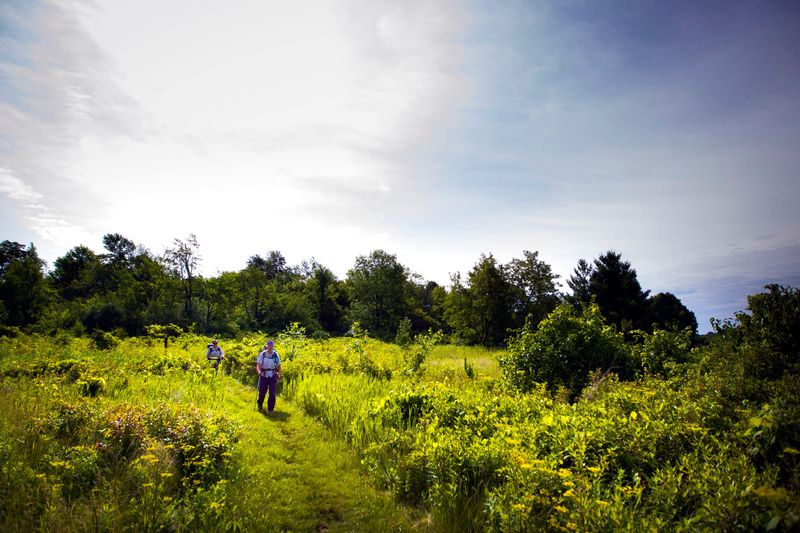
Kettles can be spotted in the aptly-named Kettle Moraine State Forest. Additionally, nearly all lakes in the Oconomowoc area are water-filled kettles.
Moraines
Moraines are ridges made of gravel, sand and boulders that were once picked up by glaciers. As the glacier moved, so did the sediment with it, which was then deposited at its end. The smallest are only ten feet in stature, but some moraines stand as tall as 300 feet.
Terminal moraines, more specifically, are found at the front of the glacier once it stops moving. All of the debris and sediment settles into a cluster, which researchers use to identify paths of glacial movement.
Moraines can be found throughout northern and eastern Wisconsin, though the Kettle Moraine, which stretches 120 miles, is often the most recognized.
Outwash plains
When water from a melted glacier spreads from the front end into a wide, flat area, the land becomes known as an outwash plain. The sandy plains can often extend for miles from the end of the glacier.
The Central Sand Plains account for just over 6% of Wisconsin’s land area, while northern Wisconsin’s Langlade County serves as home to the Antigo Flats.
Eskers
Eskers are small piles of sediment that form within or underneath glaciers. The material will collect in water channels and deposit off the glacier once its speed slows.
In Kettle Moraine State Forest, Parnell Esker stretches four miles in Sheboygan and Fond du Lac Counties. The ridge ranges from 5 to 30 feet tall.
Drumlins
Teardrop shaped hills that develop parallel to ice movement are known as drumlins. They usually form in groups, known as swarms, and are typically a quarter mile in length or more. Drumlins in Wisconsin are often composed of sand and gravel, which can be mined for highway construction. The area between drumlins can develop into a prairie or a wetland, depending on elevation and moisture.
According to the Wisconsin Department of Natural Resources, Wisconsin has one of the largest drumlin concentrations in the world, which includes a count of over 5,000 in the southern part of the state. The Ice Age National Scenic Reserve’s Campbellsport Drumlins unit, one of the most prominent drumlin lines in the state, is one of over ten drumlin properties protected by the DNR.
This article originally appeared on Milwaukee Journal Sentinel: Here’s where to find glacial features in Wisconsin
Reporting by Lance Schulteis, Milwaukee Journal Sentinel / Milwaukee Journal Sentinel
USA TODAY Network via Reuters Connect
By Lance Schulteis, Milwaukee Journal Sentinel | USA TODAY Network