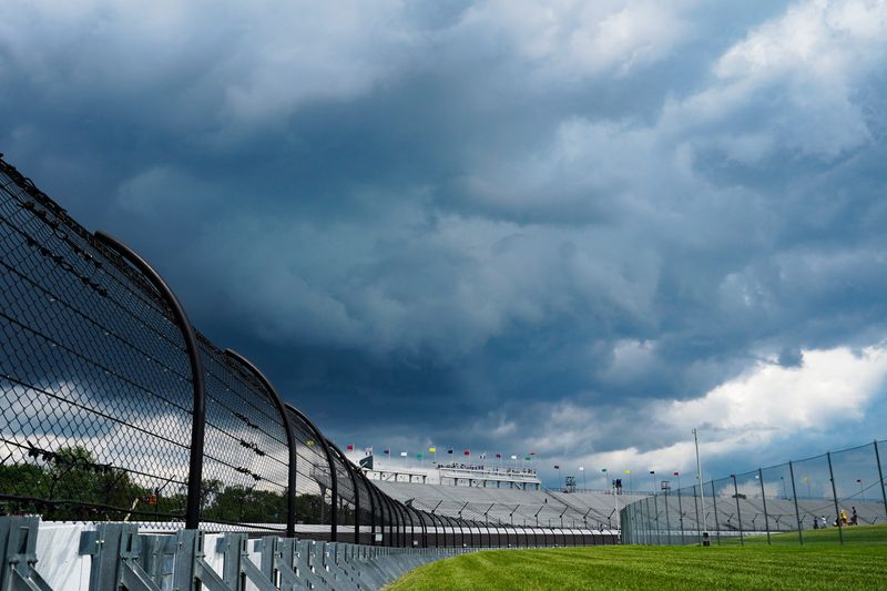
Enjoy the dryness while it lasts — the “dog days of summer” return this week with frequent thunderstorms and high temperatures, according to the National Weather Service of Indianapolis.
Temperatures will be in the upper 80s for most of the week. While July 14 will be slightly cooler, meteorologist Casey Crosbie said, humidity from weekend rain will make the decrease unnoticeable.

Rain is expected beginning late Tuesday night. Thunderstorms may continue until Friday.
Combined with weekend downpours, Crosbie said, the future storms may pose a risk for creek and river flooding later in the week. It’s too early to be sure now, he said.
See the National Weather Service’s day-by-day breakdown below.
National Weather Service Indianapolis local forecast
Monday: Partly sunny, with a high near 87. Light and variable wind.
Monday night: Partly cloudy, with a low around 70. Light east wind.
Tuesday: A 40 percent chance of showers and thunderstorms, mainly after 2 pm. Increasing clouds, with a high near 89. Calm wind becoming south southeast around 6 mph in the afternoon.
Tuesday Night: A 40 percent chance of showers and thunderstorms, mainly after 2 am. Mostly cloudy, with a low around 72. South southeast wind around 5 mph becoming calm in the evening.
Wednesday: A chance of showers and thunderstorms, then showers likely and possibly a thunderstorm after 2pm. Partly sunny, with a high near 88. Southwest wind 3 to 7 mph. Chance of precipitation is 60%. New rainfall amounts of less than a tenth of an inch, except higher amounts possible in thunderstorms.
Wednesday Night: Showers likely and possibly a thunderstorm before 8 pm, then a chance of showers and thunderstorms after 8pm. Partly cloudy, with a low around 74. South southwest wind around 6 mph. Chance of precipitation is 60%. New rainfall amounts of less than a tenth of an inch, except higher amounts possible in thunderstorms.
Thursday: Showers and thunderstorms likely, mainly after 2 pm. Mostly sunny, with a high near 90. West southwest wind 6 to 9 mph. Chance of precipitation is 70%.
Thursday Night: Showers and thunderstorms likely, mainly before 8 pm. Mostly cloudy, with a low around 73. Southwest wind 5 to 7 mph. Chance of precipitation is 60%.
Friday: A 50 percent chance of showers and thunderstorms. Partly sunny, with a high near 87. West wind 5 to 7 mph.
Friday Night: A slight chance of showers and thunderstorms, then a chance of showers after 2 am. Mostly cloudy, with a low around 70. West northwest wind around 6 mph becoming calm in the evening. Chance of precipitation is 30%.
Saturday: A 40 percent chance of showers and thunderstorms. Partly sunny, with a high near 87.
Saturday Night: A 30 percent chance of showers and thunderstorms. Partly cloudy, with a low around 71.
Sunday: A 40 percent chance of showers and thunderstorms. Partly sunny, with a high near 88.
Weather info you need
Indiana Weather Alerts: Warnings, Watches and Advisories.
Indiana power outage map: How to check your status.
What you should and shouldn’t do when the power is out.
Where to report power outages and downed lines
How to report downed traffic signals or tree limbs blocking a road
If you encounter a downed traffic signal or a limb blocking a roadway, contact the Mayor’s Action Center at 317-327-4622 or online at RequestIndy.gov. When calling after hours, press “2” to be connected.
Indianapolis and Indiana road conditions
Check road conditions, including road closures, crashes and live webcams using Indiana’s online Trafficwise map at 511in.org, or visit our gridlock guide page for live traffic cams and more.
INDOT’s CARS Program provides information about road conditions, closures and width and weight restrictions. The website has a color-coded map of Indiana’s highways and highlights hazardous road conditions and travel delays.
The interactive map also shows road work warnings, closures, roadway restrictions and other information helpful to drivers.
This article originally appeared on Indianapolis Star: ‘Dog days of summer return’: Expect high temps, rain this week
Reporting by Matthew Cupelli, Indianapolis Star / Indianapolis Star
USA TODAY Network via Reuters Connect