A heat wave that has swallowed states from Maryland to Massachusetts is melting into Florida with high temperatures forecast to top century-old records in some areas through the weekend.
Tampa, Orlando, Gainesville, Naples and Jacksonville could be smothered in warmth beginning Friday, April 17, with 90-plus degree highs that are double digits above normal for this time of year.

Areas on the east coast from Melbourne through the Keys are forecast to be between 2 and 5 degrees above normal with daytime peaks in the middle to upper-80s, according to the Southeast Regional Climate Center, or SERCC. Panhandle cities from Tallahassee to Pensacola will be between 3 and 8 degrees warmer than normal with temperatures nearing 90 degrees away from the coast.
“It’s a lot of warmth, not just in Florida but Georgia and the Carolinas as well,” said AccuWeather senior meteorologist Dan Pydynowski. “You have a lot of highs in the upper 80s and lower 90s and that’s record breaking or coming close.”
At one climate site monitored by the SERCC in Tampa, the temperature Saturday is forecast to reach 92 degrees, that’s 9 degrees above normal and a record breaker in measurements that go back 137 years. The Gainesville area is forecast to reach 94 degrees Saturday, which is 12 degrees warmer than normal and breaks the record in measurements that date back to 1890.
“It’s just dry and sunny. It’s baking,” Pydynowski said.
How far south will the next cool front drop into Florida?
The culprit for the summer-like heat is a mountainous ridge of high pressure over the Gulf and southeastern U.S. that won’t be budged until Sunday through late Monday when a cool front is forecast to push through Florida and possibly linger for a day in the Straits.
In northeastern states, the front will mean high temperatures that reached 90 degrees in New York City on Wednesday will plummet to the low 50s on Monday.
But that temperature swing won’t be as impressive in Florida.
“It will work it’s way down into South Florida a little bit,” Pydynowski said. “Miami is 88 degrees on Sunday then back into the lower 80s on Monday and Tuesday so not quite as dramatic a drop.”
The normal high temperature in Miami for this time of year is 84 degrees.
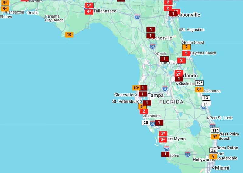
How many wildfires are burning in Florida?
Meteorologists in the Tampa and Jacksonville areas are also warning of “critically” low humidities and continued dry conditions for the weekend as wildfires smolder throughout the state.
They also note the potential for morning patches of “super fog” — a mixture of wildfire smoke and moist cooler air.
The Newman Fire in the Picayune Strand State Forest near Naples had expanded to 1,700 acres as of Wednesday, April 15, after the first embers took purchase Monday.
Statewide, 70 wildfires were burning 7,800 acres of land including 400 acres in Alachua County east of Gainesville and 555 acres in Dixie County in the Big Bend region of the state.
Did the recent Florida rains but a dent in the state’s drought situation?
Little to no rain is forecast statewide into Sunday as the high pressure causes sinking air that warms and dries as it falls. The cool front isn’t forecast to bring much rain either.
That’s bad news for areas of the state still suffering from the highest levels of drought, including most of the Panhandle, into the Big Bend region and snaking down through Naples on the Gulf Coast. A U.S. Drought Monitor report released April 16 shows 20% of the state suffering exceptional drought — the highest level on a 4-tier scale. Another 51% is in extreme drought, which is the 3rd most severe level on the scale.
Parts of southeast Florida through the Treasure Coast that were overwhelmed with several days of rain this month saw the drought lessened slightly with more areas coming out of the exceptional drought category.
West Palm Beach, as measured at Palm Beach International Airport, has racked up 6.48 inches of rain this month. That’s 4.68 inches above normal. Fort Pierce in the Treasure Coast has had 6.36 inches of rain, including a record 3.75 inches on April 9. Fort Pierce’s total for the month is nearly 5 inches above normal.
Still, National Weather Service meteorologist George Rizzuto said more heavy rain is needed to make a big dent in the in the dry conditions. Rainy season for much of the state begins around mid-May.
“It’s been such a prolonged drought and we’ve had such a long time for things to dry out, it’s going to take a significant event to really knock it out,” Rizzuto said. “Our chances of rain this weekend are non existent, so there’s nothing to talk about there.”
Kimberly Miller is a journalist for the USA TODAY NETWORK FLORIDA. She covers weather, the environment and critters as the Embracing Florida reporter. If you have news tips, please send them to kmiller@pbpost.com. You can get all of Florida’s best content directly in your inbox each weekday by signing up for the free newsletter, Florida TODAY, at palmbeachpost.com/newsletters.
This article originally appeared on Palm Beach Post: Cool front headed to Florida, but first a scorching, dry weekend
Reporting by Kimberly Miller, USA TODAY NETWORK – Florida / Palm Beach Post
USA TODAY Network via Reuters Connect