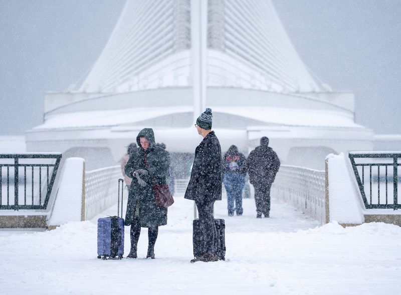
A late December storm will bring just about every type of hazardous winter weather to Wisconsin over the next 24 hours.
Central and northern Wisconsin could see snow totals up to 8 inches or more, while southern counties will see one or two inches of accumulation.

“Sometimes we have a more gradual transition from rain to snow, but this one could pack a punch and move in pretty quickly,” National Weather Service meteorologist Cameron Miller said.
Combine that snow with fog, high winds, blowing snow, rapidly dropping temperatures and slick roads – and travel will be treacherous the next two days.
“Prepare for kind of a dicey commute out there,” Miller said.
Here’s an expected timeline of the storm, according to NWS forecasts:
Dense fog Sunday morning in southern Wisconsin
Fog is already blanketing much of southeastern Wisconsin, with areas along Lake Michigan reporting less than half a mile of visibility.
A dense fog advisory is in effect for several southern counties until noon Sunday, including Milwaukee, Racine and Kenosha. Fog will dissipate once the rain starts.
If you’re driving through fog, make sure to use low beam headlights and allow for extra stopping time.
Rain into snow Sunday afternoon, high totals expected in some areas
Light rain will fall across Wisconsin this afternoon, with freezing drizzle possible further north. By the late afternoon and early evening, rain will turn into snow.
Areas along the Wisconsin-Illinois border are expected to see 1 to 3 inches of snow through Monday morning. Milwaukee could get trace amounts up to two inches.
Counties further north will see more snow – 4 to 6 inches in the Fox Valley, 6 to 8 inches near Wausau and Antigo, and 12 or more inches in far northern counties. Snow could fall as rapidly as 1 inch per hour north of State 29.
Dropping temperatures could freeze roads
Temperatures will decline rapidly between Sunday afternoon and early Monday morning.
In Milwaukee, temperatures will be as warm as 43 degrees this afternoon and drop to 20 degrees by 8 a.m. Monday, just in time for the morning commute. Morning temperatures in Appleton and Green Bay will be in the low 20s as well.
There’s a chance for flash freezing on wet, untreated roads. That could happen around midnight in Milwaukee.
“There’s probably going to be some slick spots related to those temperatures very quickly dropping off,” Miller said.
High wind gusts tonight into Monday afternoon
High wind gusts start up tonight, reaching 50 miles per hour. Winds will be the strongest and last longest along Lake Michigan.
Blowing and drifting snow is the big concern between 6 p.m. Sunday and 12 p.m. Monday. Areas that receive 2 or more inches of snow will be especially vulnerable.
While Milwaukee and other urban areas have the protection of buildings, blowing snow is especially likely along rural roads and highways, Miller said.
“Take it easy, budget for some extra time,” he said. “We don’t necessarily see conditions like this around here every winter.”
Hope Karnopp can be reached at HKarnopp@gannett.com.
This article originally appeared on Milwaukee Journal Sentinel: Winter storm warning: Tough driving conditions Sunday into Monday
Reporting by Hope Karnopp, Milwaukee Journal Sentinel / Milwaukee Journal Sentinel
USA TODAY Network via Reuters Connect