The Lower Hudson Valley is in for some rainy days Wednesday and Sunday, with about an inch of precipitation expected in the region for the week.
Wednesday, Oct. 8, started off with showers in the morning, but by 11 a.m., the National Weather Service predicts at least one thunderstorm could occur. Showers are expected to continue between 11 a.m. and 2 p.m.

During the storm, wind gusts could average between 10 to 23 mph and half an inch of rain could accumulate in low-lying, flood prone areas.
By the evening, the rain should stop and skies should become clear with low temperatures around 44 degrees.
Thursday’s weather in the Lower Hudson Valley
Thursday is looking sunny and clear, but a bit chilly with high temperatures near 58 degrees. Overnight, temperatures are expected to drop to the coldest of the season so far at 39 degrees.
Friday could warm up a bit, with sunny and clear skies with a high near 62 degrees. Overnight Friday looks clear with a low of 46 degrees.
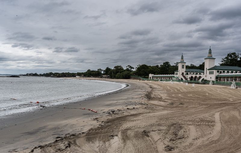
Saturday looks similar to Friday, with a few clouds in the sky and warmer temperatures near 67 degrees. But by Sunday, parts of Southern Westchester should be alert for a coastal storm, which could cause flooding into Monday.
This article originally appeared on Rockland/Westchester Journal News: Rainy mid-week in the Lower Hudson Valley, possible weekend flooding. See weather forecast
Reporting by Alexandra Rivera, Rockland/Westchester Journal News / Rockland/Westchester Journal News
USA TODAY Network via Reuters Connect