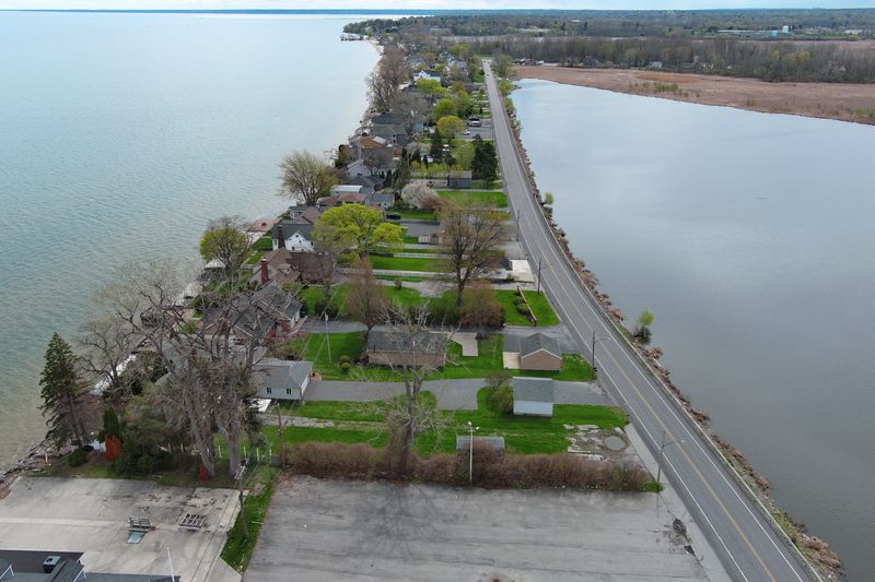
Lake Ontario water levels slightly increased after rain showers from this past weekend.
Through the month of April, reports by the International Joint Commission showed that a steeper-than-average rise occurred.

Since March 1, due to persistent precipitation and snowmelt, water levels for Lake Ontario rose from 244.55 feet to 247.05 feet by April 30 which is at Plan 2014’s “F-Limit” trigger of 247.05 feet.
Bryce Carmichael, U.S. secretary to the International Lake Ontario-St. Lawrence River Board, said most shoreline communities are at risk with the current levels of impacts from a significant storm or wind event.
Carmichael also noted that strong winds could lead to wave run-up impacting structures on the shoreline.
“The forecast from last Thursday is indicating that the lake is very close to its seasonal crest, but that is dependent on any future precipitation,” Carmichael said in a statement. “Since the forecast looks relatively dry over the next week, I think it’s very likely that we will start seeing water levels stabilize or very gradually start to decline over the coming week.”
How residents can prepare for flooding
For residents living within a half mile of the shoreline the following steps should be considered to protect your home:
—Kerria Weaver works as the Government and You reporter for the Democrat and Chronicle, with a focus on how government actions affect communities and neighborhoods in Rochester and in Monroe County.
This article originally appeared on Rochester Democrat and Chronicle: Lake Ontario levels rise after rain, nearing seasonal peak ahead
Reporting by Kerria Weaver, Rochester Democrat and Chronicle / Rochester Democrat and Chronicle
USA TODAY Network via Reuters Connect