
ROCKFORD, IL — Rainstorms could bring damaging winds and other severe weather through the Rockford region Wednesday.
The much of northern Illinois and northwest Indiana is under a hazardous weather outlook through 9 p.m., according to the National Weather Service.

The outlook area includes Winnebago, Boone, McHenry, Lake, Ogle, Lee, DeKalb, Kane, DuPage, La Salle, Kendall, Grundy, Kankakee, Livingston, Iroquois, Ford, Cook, Will and Lake counties in Illinois and Porter, Newton, Jasper, and Benton counties in Indiana.
Damaging winds as high as 50 mph, is the greatest concern north of I-80 Wednesday afternoon. The strongest storms, which are expected south of I-80, could bring large hail, destructive winds and strong tornadoes.
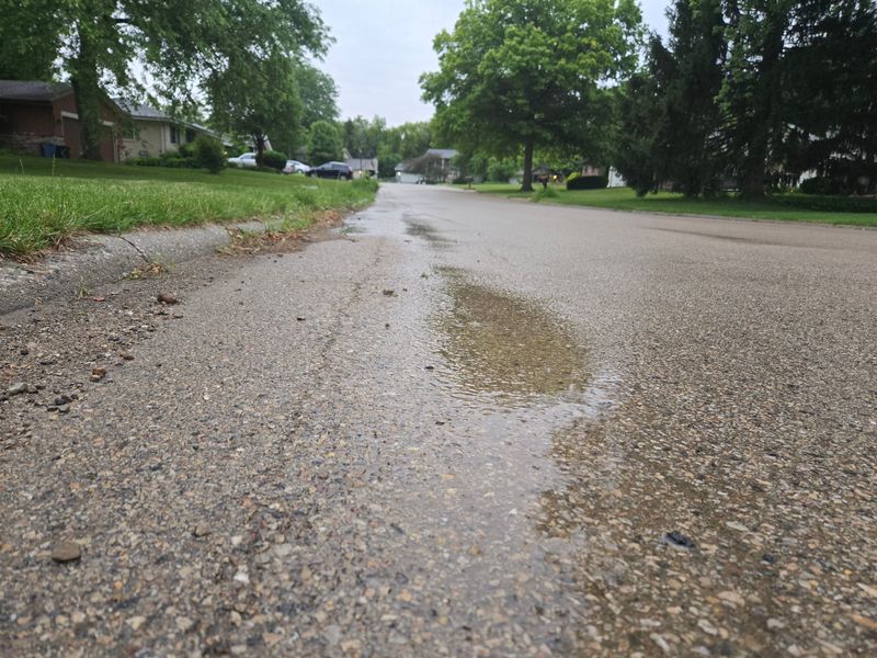
Wednesday’s storms are also capable of producing heavy rainfall, which could lead to localized flash flooding and sudden river/stream rises.
A hazardous weather outlook has been issued for the Freeport area, as well, warning of strong to severe thunderstorms.
The outlook area includes Buchanan, Delaware, Dubuque, Benton, Linn, Jones, Jackson, Johnson, Cedar, Clinton, Muscatine, Scott, Keokuk, Washington, Louisa, Jefferson, Henry, Des Moines and Van Buren counties in Iowa and Lee. Jo Daviess, Stephenson, Carroll, Whiteside, Rock Island, Henry, Bureau, Putnam, Mercer, Henderson, Warren, Hancock and McDonough counties in Illinois and Scotland and Clark countied in Missouri.
“All severe weather hazards will be possible, including tornadoes. With heavy rainfall already fallen from this morning`s storm activity, localized flash flooding will also be a threat, especially in areas that see multiple rounds of storms on soaked ground,” the outlook states.
A flood watch is in effect this evening for areas along and south of U.S. 30 corridor.
Illinois weather radar
Illinois weather watches and warnings
What is flash flooding?
Flash flooding usually begins within six hours, but often within three hours, of heavy rain or mass amounts of water accumulating in an area, according to the National Weather Service.
This type of flooding usually happens very quickly and catches people off guard. It can be caused by a number of things, but is often due to extremely heavy rainfall from thunderstorms.
“The intensity of the rainfall, the location and distribution of the rainfall, the land use and topography, vegetation types and growth/density, soil type, and soil water-content all determine just how quickly the flash flooding may occur, and influence where it may occur,” writes the National Weather Service.
Flood watch vs. flood warning: What is the difference?
A flood watch and a flood warning are two different things. Here’s the difference.
A flood watch indicates that the conditions are favorable to flooding in an area that is under a watch. These flood watches are usually issued hours and even days ahead of the weather event that could cause the flooding.
A flood warning means that the flooding that could be harmful and poses a serious threat to property and people is expected. This too can be issued hours and days ahead of time based on forecast predictions.
Anytime flooding is a risk people should use caution. Water levels can change rapidly during periods of heavy rainfall.
What is a tornado watch?
When a tornado watch is in place tornadoes are possible in and near the watch area, according to the National Weather Service.
The National Weather Service suggests people who are in the warning area review and discuss their emergency plans, check supplies and have a safe room incase the weather takes a turn for the worse.
What is a tornado warning?
When a tornado warning is issued it means a tornado has been sighted or indicated by weather radar. There is imminent danger to life and property.
Here are some suggestions from the National Weather Service if a tornado warning is issued for your area:
Warnings typically are for a much smaller area that may be impacted by a tornado identified by a forecaster on radar, a trained spotter or law enforcement who is watching the storm, according to National Weather Service.
Tornado warnings are issued by your local forecast office.
Rockford Register Star editor Corina Curry contributed to this report.
Jeff Kolkey writes about government, economic development and other issues for the Rockford Register Star. He can be reached via email at jkolkey@rrstar.com and on X @jeffkolkey.
This article originally appeared on Rockford Register Star: Wednesday storms could bring high winds, heavy rain to Rockford area
Reporting by Tiffany Rodgers, Rockford Register Star / Rockford Register Star
USA TODAY Network via Reuters Connect
By Tiffany Rodgers, Rockford Register Star | USA TODAY Network