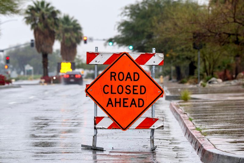
The National Weather Service issued flood advisories throughout parts of Illinois as a result of severe storms Tuesday evening into Wednesday morning.
Here’s what you should know about possible flooding in your area.

Flood warning vs flood watch
A flood watch is issued when conditions are favorable for flooding, meaning flooding is not a certainty but is possible.
In comparison, a flood warning is more serious, being issued when flooding is imminent or occurring.
Flood warnings in Illinois
The NWS issued flood warnings for the following areas:
The NWS advises motorists to avoid driving through flooded areas and urges individuals to use caution when walking near riverbanks.
Flood watches in Illinois
The NWS issued flood watches for the following areas:
In addition, flood watches will continue through Wednesday night in Boone, Carroll, Central Cook, DeKalb, DuPage, Eastern Will, Grundy, Jo Daviess, Kane, Kankakee, Kendall, Lake, La Salle, Lee, Livingston McHenry, Northern Cook, Northern Will, Ogle, Southern Cook, Southern Will, Stephenson and Winnebago.
Will rain continue this week in Illinois?
Severe weather is expected to continue Wednesday throughout Illinois, according to the NWS, with occasional periods of showers and storms forecast through the end of the week.
Storms are expected Wednesday into Thursday and again Friday evening into Saturday in Chicago and central Illinois.
Severe storms Wednesday could produce large hail, damaging winds and more flash flooding.
Central Illinois weather radar
Chicago weather radar
This article originally appeared on Journal Star: Flash flooding issued in Illinois after overnight storms. See warnings
Reporting by Hannah Hudnall, Peoria Journal Star / Journal Star
USA TODAY Network via Reuters Connect