The Bloomington area faces multiple rounds of severe weather threats today. Here’s what’s coming and when.
What severe weather threats are coming to Monroe County?

The highest threat is damaging winds with speeds as high as 70 mph, though tornados also are possible. Casey Crosbie, a meteorologist with the National Weather Service in Indianapolis, said the area also could see some hail as large as 1.5 inches, but the risk of that happening is small.
When is the severe weather going to hit Bloomington?
Crosbie said the area likely will see “multiple rounds” of severe weather, with the earliest round arriving early this afternoon, from 1 to 3 p.m.
He said more storms may develop later, all the way through 2 a.m. Tuesday.
What other counties are affected?
The National Weather Service has issued a hazardous weather outlook for nearly half the state, including for Monroe and all neighboring counties: Owen, Greene, Brown, Lawrence, Jackson and Jennings.
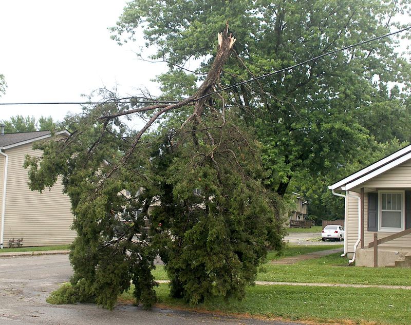
Flash flooding, uprooted trees possible.
Crosbie said that as the area may get hit with multiple rounds of rain, flash flooding also may be a risk.
He said multiple rounds of rain also may saturate and weaken the ground, which means strong winds that follow may uproot trees, which means trees and limbs may block roads.
How should you prepare for the storms?
Crosbie said people should secure smaller objects they have in their yard and/or around the house to prevent them from being tossed around by the wind.
He also suggested that as there’s a possibility for severe weather after people have gone to sleep already that they have a severe weather safety plan in place before they go to bed. If severe weather alarms wake people up, he said their ability to react tends to be a bit compromised, which means they can react more quickly and coherently if they have a plan in place already.
What’s causing the severe weather?
Crosbie said the area is stuck in a weather pattern that keeps sending disturbances her from the West, and every time a pattern arrives, it runs into warm, humid air from the Gulf of Mexico, which can create storms.
Is that pattern unusual for this time of year?
No. Crosbie said that the area through June can expect to experience some severe weather, and the type of system that is expected to arrive today is not unusual — though it is likely to create an unusual amount of tornadoes in Illinois.
Bloomington, Indiana, weather radar
Boris Ladwig can be reached at bladwig@heraldt.com.
This article originally appeared on The Herald-Times: Multiple rounds of severe weather expected across south‑central Indiana
Reporting by Boris Ladwig, The Herald-Times / The Herald-Times
USA TODAY Network via Reuters Connect