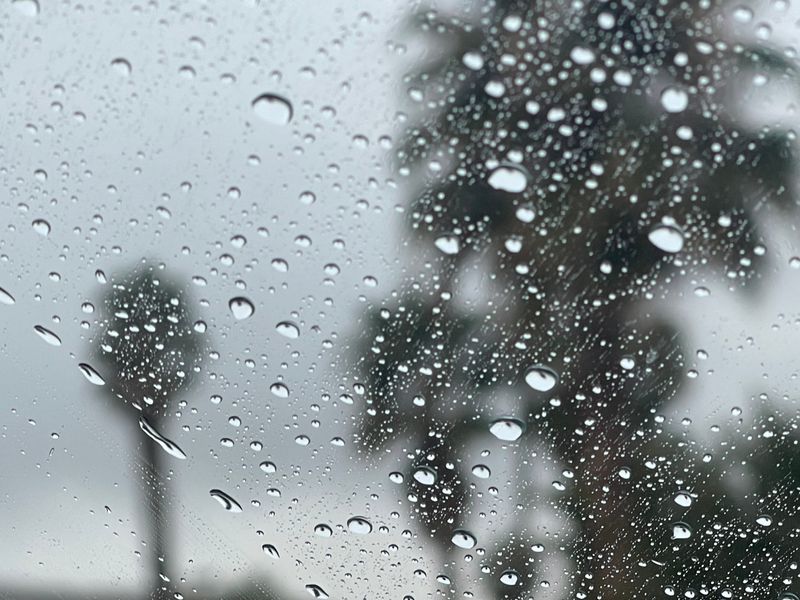
A new round of storms is lining up over the Pacific, bringing new showers to the Stockton area beginning Sunday after rain eases off Wednesday night.
Stockton gets a quiet start to the stretch, with Wednesday’s light showers giving way to several calm, mostly sunny days through Saturday and temperatures forecast to stay steady in the mid‑60s until Sunday.

“It is possible the series of storms next week in California delivers close to an entire month’s worth of rain and snow,” AccuWeather Chief On-Air Meteorologist Bernie Rayno said. “Multiple inches of rain will pour down in many areas, while feet of snow pile up in the Sierra Nevada.”
If you’re looking for snowy getaway, the Tahoe-Sierra area will see periods of snowfall over Valentine’s Day weekend.
The new storms come after California had been enjoying an unusually warm winter.
The nice weather was thanks to a “high pressure system has been parked over California for the last month,” meteorologist Kai Kerkow said in an AccuWeather report.
“This weather pattern is beginning to change as the high pressure begins to weaken, allowing for a more active pattern as we move into the middle of February,” Kerkow said in the report. “This change in the pattern will be beneficial for California’s snowpack and reservoirs, as the snowpack is running well below average across much of the state.”
As the state starts to see wet and cooler weather, here’s what to know.
When to expect rain elsewhere in Northern California
Rain was began hitting Northern California Tuesday, KCRA 3 reported.
“A weather system will continue to move through the area today and tomorrow and bring Valley rain and mountain snow, along with an isolated thunderstorm chance this evening,” the National Weather Service Sacramento said in a Tuesday, Feb. 10, post on X.
Dry weather is expected from Thursday until Saturday, when there is a slight chance for rain, according to the NWS. The second round of rain is predicted to continue through early next week.
A Winter Weather Advisory will remain in effect for the northern Sierra, the southern Cascades and Lassen Park above 5,500 feet, per the NWS.
Snow levels were predicted to be about 6,000 to 7,700 feet Tuesday, Feb. 10, then drop to about 5,500 feet Wednesday, according to the NWS. The area is expected to see 3 to 6 inches of snow above 5,500 feet; between 8 to 12 inches above 6,000 feet; and up to 18 inches over higher peaks.
When to expect rain in Southern California
Rain is expected to start hitting Southern California starting Tuesday, Feb. 10, with Ventura and Los Angeles counties seeing rain as early as the afternoon, according to the NWS.
“The storm system (is) not necessarily expected to be a huge rainmaker,” weather anchor Kirk Hawkins said in a KTLA 5 News report. “We’re talking about 1-2 inches at the absolute most by the time we get to Thursday.”
Some “light mountain snow” is predicted for “some higher elevations and gusty southerly winds will be common,” the NWS Los Angeles said.
California weather radar
California severe weather watches and warnings
This article originally appeared on The Record: Rain returning to Valley as new Pacific storms move into California
Reporting by Daniella Segura, Palm Springs Desert Sun / The Record
USA TODAY Network via Reuters Connect