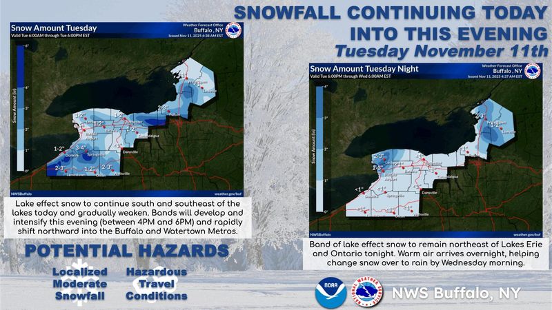
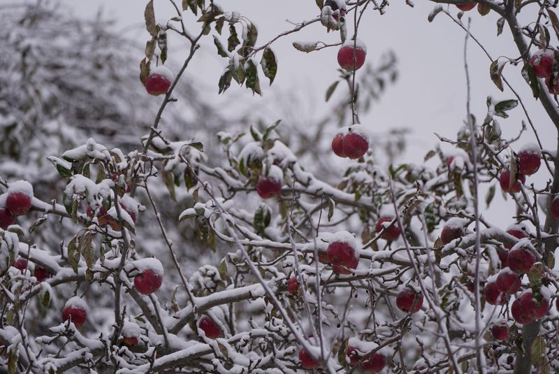
New York continues to be hit by wintry weather as a persistent Arctic blast fuels lake-effect snow showers in areas downwind of Lakes Erie and Ontario. Upstate regions have already seen snow accumulations ranging from 7 inches to a foot in some spots.
Even after the massive system — which has impacted all 48 states since late Friday, Nov. 7 — moves on, temperatures will remain well below average through the week, keeping roads slick and travel tricky. Authorities continue to urge caution, especially for commuters in snow-affected regions.

“Wintry weather continues through tonight as cold air flowing into the region generates lake effect snow showers at times,” the National Weather Service office in Buffalo said in its area forecast discussion. “Favorable areas for accumulating lake snow will be south and southeast of the lakes this morning before diminishing this afternoon.”
How much snow is still headed for upstate New York?
Some areas in the region can expect to see at 1 to 3 inches more of snow, though localized areas could see more.
When will the Arctic blast move past New York?
Snow showers will continue today, Nov. 11, particularly southeast of Lake Erie and along the south-southeastern shore of Lake Ontario. While lower elevations may see temperatures rise slightly above freezing, snow on the ground and slick roads will remain a concern.
Tonight into Wednesday morning, Nov. 12, southwest winds will push new bands of lake-effect snow over Buffalo, the Niagara region and Watertown. Snow may mix briefly with rain in some areas as the air slowly warms, with snow accumulations remaining modest in most locations.
The Arctic blast is expected to largely move past New York by Wednesday morning, Nov. 12, according to the National Weather Service.
The coldest Arctic air and gusty winds that produce lake-effect snow will begin to ease Wednesday, although some lingering snow or rain may continue into the morning.
New York weather watches and warnings
Stay informed. Get weather alerts via text
Brandi D. Addison covers weather across the United States as the Weather Connect Reporter for the USA TODAY Network. She can be reached at baddison@gannett.com. Find her on Facebook here.
This article originally appeared on Rochester Democrat and Chronicle: How much more snow will NY get? See when the Arctic blast will end
Reporting by Brandi D. Addison, USA TODAY NETWORK / Rochester Democrat and Chronicle
USA TODAY Network via Reuters Connect