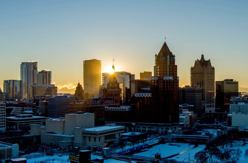
Milwaukee is in for a frigid and snowy December, thanks to several polar vortex systems that will sweep through the United States in the coming weeks.
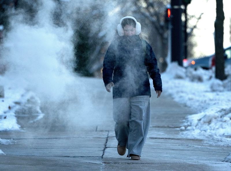
A polar air mass from Canada is hovering over Wisconsin on Thursday, Dec. 4, bringing single-digit temperatures and negative wind chills, according to Milwaukee/Sullivan National Weather Service meteorologist Mark Gehring.

Temperatures will tick back up by Friday, Dec. 5, but dip again over the weekend as the next Canadian cold front hits, Gehring said. The weather will ping pong like this throughout December, he said: a slight warming in temperatures, followed by another wave of polar air.
“This doesn’t mean this pattern is going to hold the whole winter,” Gehring added. “I’m sure it’ll break up at times, but it looks like it’ll return somewhat frequently and bring us a cold winter.”
Here’s what to know about the polar vortex rolling through Wisconsin this month:
What is a polar vortex?
The polar vortex is a massive area of low pressure and cold air that spins over the North and South Poles, according to the National Weather Service.
Though the polar vortex always exists over the Earth’s poles, it weakens during summer and strengthens during winter. Occasionally, a portion of the vortex will break off from the North Pole, sending blasts of freezing weather south toward the U.S.
For Wisconsin, that usually means cold jet streams from Canada will push polar air masses over the state.
When will it get warmer in Milwaukee?
Though there will be brief respites, Milwaukee seems to be in for a colder- and snowier-than-normal December, according to Gehring.
Southwest winds will move through southeast Wisconsin late on Dec. 4, bumping temperatures into the mid to upper 20s by Dec. 5, he said. The slightly warmer temperatures will hold through Saturday, Dec. 6.
However, another Canadian cold front will hit the state by Sunday, Dec. 7, bringing temperatures in the teens to far eastern Wisconsin and single-digit temperatures to more inland areas. Overnight, temperatures will dip into the single digits or below zero.
Each cold front will also bring chances of snowfall, with snow expected on Saturday night, Monday night and Tuesday night in southeast Wisconsin. Snow accumulation could get up to one to three inches but will likely total under an inch in most places.
“Every time we warm up well into the 20s during the day, it’s just going to knock back down with these cold fronts out of Canada,” Gehring said of the early December weather.
So far, he said Milwaukee is already seeing below normal temperatures and above normal snowfall for December – on the heels of the city’s snowiest November in 50 years. Typically, these cold air patterns hit between the end of December and early January, he said.
“The Climate Prediction Center is now forecasting better odds for a colder winter,” Gehring said. “When the month is all said and done, it’s probably going to end up as a pretty cold December.”
This article originally appeared on Milwaukee Journal Sentinel: Wisconsin is in for a frigid, snowy December, thanks to a polar vortex
Reporting by Maia Pandey, Milwaukee Journal Sentinel / Milwaukee Journal Sentinel
USA TODAY Network via Reuters Connect