LAKE MICHIGAN/LAKE WINNEBAGO REGION – It’s shaping up to be a steamy and turbulent weekend in northeast Wisconsin.
National Weather Service hazardous weather outlooks are in place for Dodge, Fond du Lac, Green Lake, Manitowoc, Sheboygan, Winnebago and several other counties.

The outlooks begin with a chance of thunderstorms Thursday afternoon through the night.
The NWS said a few storms could become strong or severe with damaging winds, large hail and torrential rainfall.
The NWS also noted the greatest risk of severe storms is from 1 to 10 p.m. Thursday.
Forecasts for the rest of the weekend and early next week vary slightly between northern and southern counties.
Northern counties, including Manitowoc and Winnebago, could see storms and heat indexes above 100 Friday through Wednesday.
Friday through Wednesday for northern counties including Manitowoc and Winnebago, thunderstorms are possible from Friday morning through Saturday morning.
The greatest risk of severe storms will be overnight Friday night into Saturday morning as a thunderstorm complex is expected to move across the area. A potential for torrential rainfall also comes with the stronger storms, the NWS said.
Thunderstorms are also possible early to midweek next week, although the NWS said it’s too early to determine if those storms could become severe.
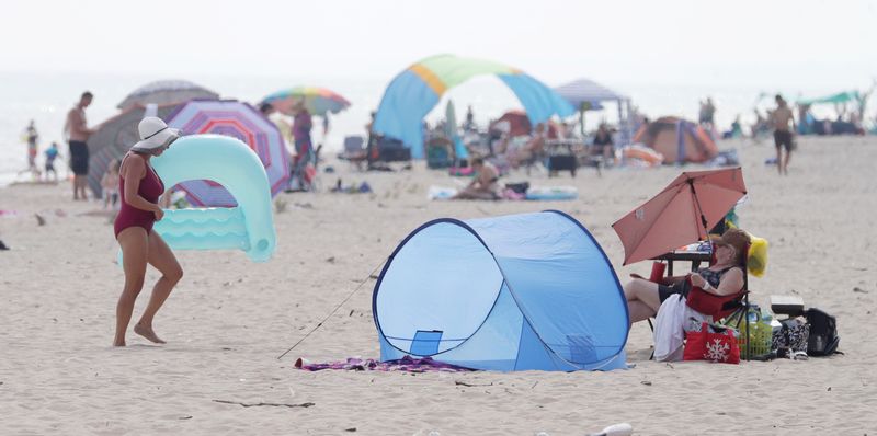
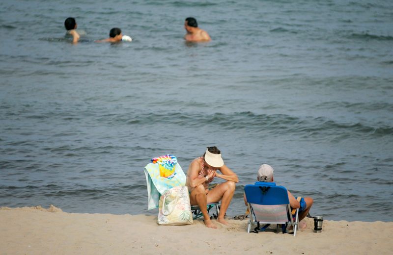
A hot and humid airmass will move into the region this weekend into early next week.
Heat index values could climb to 95 to105 degrees on Saturday and Sunday afternoons, the NWS said.
Nighttime lows Saturday night and Sunday night will only drop to the mid to upper 70s, which will provide minimal relief to the heat, the NWS added.
Southern counties — including Dodge, Fond du Lac, Green Lake and Sheboygan — could also see storms and heat indexes above 100.
Saturday through Monday for southern counties like Dodge, Fond du Lac, Green Lake and Sheboygan, hot and humid conditions are expected Saturday through Monday.
Heat indices will range from 100 to 105 degrees, the NWS said.
Thunderstorms will be possible at times Friday and again early next week.
A moderate swim risk will be possible at times this weekend, the NWS added.
How to stay safe during the Wisconsin heat wave
Here are some things to keep in mind when trying to stay safe amid heat:
Central Wisconsin reporter Erik Pfantz contributed to this report. Contact Brandon Reid at breid@gannett.com.
This article originally appeared on Manitowoc Herald Times Reporter: Heat indexes around 100 and storms in forecast for lakeshore, Lake Winnebago region
Reporting by Brandon Reid, Manitowoc Herald Times Reporter / Manitowoc Herald Times Reporter
USA TODAY Network via Reuters Connect