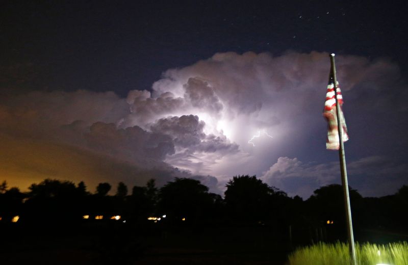
A weak cold front moving across Wisconsin may bring severe thunderstorms to parts of central and southern Wisconsin on Sunday, June 29.
The National Weather Service issued a severe thunderstorm watch for 31 counties. The watch is in effect until 9 p.m. and covers counties spanning from Green Bay down to far southwest Wisconsin. Milwaukee County is not currently affected.

Ben Miller, a meteorologist at NWS in Sullivan, said there is a risk of 1-1.5 inches of rain, hail and gusty winds of 50-60 miles per hour.
At 3:01 p.m. the NWS upgraded the watch to a severe thunderstorm warning until 3:45 p.m. for parts of Brown, Oconto, Outagamie and Shawano counties in northeastern Wisconsin.
Between two and four inches of rain fell in southeastern Monroe County by 3 p.m., with an additional one to two inches expected. This rainfall triggered a flash flood warning that is in effect until 5:15 p.m. for this region.
This article originally appeared on Milwaukee Journal Sentinel: Wisconsin weather: Severe thunderstorm watch issued for large swath of state
Reporting by Andrew Montequin, Milwaukee Journal Sentinel / Milwaukee Journal Sentinel
USA TODAY Network via Reuters Connect