For the third Wednesday in a row, Green Bay will face a risk of flash flooding as storms move in overnight, according to the National Weather Service Green Bay.
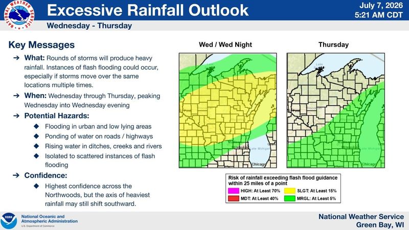
Another round of storms is expected in the area in the evening of July 8 and possibly July 9.

Some rain is possible overnight July 7, but the strongest storm will hit in the afternoon July 8. Some rain could linger into the morning July 9. The high temperature July 8 is forecast to be 85.
Jason Alumbaugh, a meteorologist with the National Weather Service Green Bay, said the storm will reach Green Bay around 1 p.m., but the heaviest rainfall will be between 4 and 9 p.m. The storm could have strong winds, heavy rain, and hail. It’s still tough to tell where exactly will get the most rain, but Alumbaugh said parts of the city could get up to 2-4 inches of rain depending on how the storm moves.
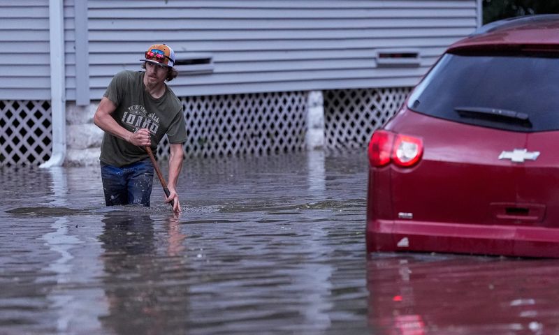
A couple weeks ago, Green Bay got hit with torrential rain and damaging flash flooding June 24 and additional thunderstorms shut down the Wednesday Farmers Market on Broadway on July 1.
“We’re in a pattern right now,” Alumbaugh said. “Wednesday is the prime day for the better chance for any kind of severe weather this week.”
Because of the amount of rainfall, flash flooding could be a possibility again.
There is a 50% chance of precipitation July 9. Then the area will have another dry break, with rising heat next week in the 90s.
Green Bay weather radar
Contact Benita Mathew at bmathew@usatodayco.com.
This article originally appeared on Green Bay Press-Gazette: More heavy rain, gusty winds forecast for July 8 in Green Bay
Reporting by Benita Mathew, Green Bay Press-Gazette / Green Bay Press-Gazette
USA TODAY Network via Reuters Connect
By Benita Mathew, Green Bay Press-Gazette | USA TODAY Network