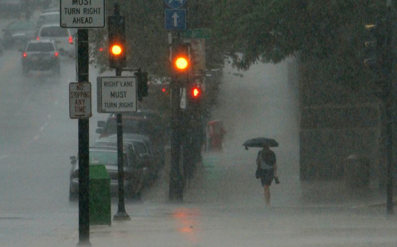
It looks like an all-day rain for the Milwaukee area today.
After scattered showers the morning of June 18, heavier rainfall and thunderstorms move into the area by around midday and persist into the evening, according to the National Weather Service.

“Once we get into the afternoon, it looks like things will be a little bit more consistent and perhaps a little bit heavier,” Milwaukee-Sullivan National Weather Service meteorologist Aidan Kuroski said. “It’ll accumulate pretty good, too.”
Kuroski said there is likely to be three-quarters of an inch to 1 ¼ inches of rain. Urban and small stream flooding will be possible, particularly in southeastern Wisconsin, but because the area has been dry recently significant flooding shouldn’t occur, Kuroski said.
“With typical heavy rain, or just even moderate rain, we can get some minor small streams that flood, or little pond ponding in city areas,” Kuroski said. “And that’s what we could expect today.”
Possible record heat ahead
Don’t get used to the rain — or chilly temperatures — though.
While temperatures dipped from mid-to-high 80s June 17 to 60s June 18, they will jump back up into the 90s over the weekend once sunny skies return.
And they could go so high they set new temperature records.
Right now the NWS is projecting a high around 95 on June 21 and 22, and 92 on June 23, but those forecasts could both still get warmer. The June 22 and 23 temperature records in Wisconsin are 97 and 95, respectively.
“Ninety-seven on Sunday is possible, and something greater than 95 on Monday is also possible,” Kuroski said.
This article originally appeared on Milwaukee Journal Sentinel: All-day rain likely for Milwaukee area today
Reporting by Jack Albright, Milwaukee Journal Sentinel / Milwaukee Journal Sentinel
USA TODAY Network via Reuters Connect