Some badly needed moisture, cooler temperatures and less wind are in the forecast for the Panhandle and South Plains.
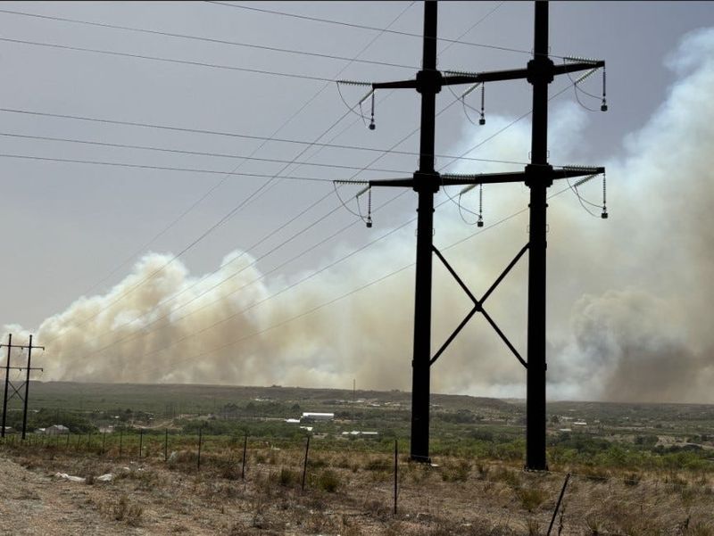
A cool front was moving through the region Tuesday, dropping daytime highs into the lower 80s and 70s Tuesday and bringing rain chances through the weekend in what could be a respite from the harsh conditions that have fueled devastating wildfires.

There was a 20 percent chance for thunderstorms overnight Tuesday for much of the Panhandle and South Plains, increasing to 40 percent Wednesday and 60 percent Wednesday night in the Panhandle, with chances increasing to the south.
“Additional chances for thunderstorms will arrive for portions of the region Wednesday through the end of the week,” reads a hazardous weather outlook from the weather service. “A few storms may be severe each day, with heavy rainfall possible Wednesday into Thursday.”
Rain chances appear to be higher further south into the South Plains and Lubbock.
This article originally appeared on Lubbock Avalanche-Journal: Rain, cooler temps could bring relief to West Texas wildfires
Reporting by Adam D. Young, Lubbock Avalanche-Journal / Lubbock Avalanche-Journal
USA TODAY Network via Reuters Connect