The National Weather Service issued a wind advisory for Southern Westchester, New York City, Long Island and parts of Fairfield County, Conn., on Monday, March 16, as a major storm system sweeps into the region.
The advisory will be in effect from 2 p.m. Monday to 4 am. Tuesday. The National Weather Service says wind speeds are expected to average between 20 and 30 mph, with wind gusts up to 50 mph, especially in the evening hours.

The advisory could extend into Tuesday afternoon, depending on location. Areas like Northern Westchester and Brewster in Putnam County could experience 40 to 50 mph winds, along with foggy conditions and some thunderstorms as a predicted “megastorm” hits the East Coast Monday.
The Weather Service warned Lower Hudson Valley residents to secure outdoor objects and be vigilant on roadways, as a mix of high winds, slick roads and foggy conditions could make driving a hazard.
Incoming ‘March megastorm’
According to AccuWeather, the high winds in the region can be attributed to a new powerful storm system, which is expected to become yet another “bomb cyclone” in the region.
A bomb cyclone is also known as bombogenesis — which describes the process in which a storm’s pressure drops, creating a vacuum in the atmosphere causing winds to rush in towards the storm’s middle, resulting in a bomb cyclone.
When the central pressure drops 0.71 of an inch of mercury, or 24 millibars, in 24 hours or less, bombogenesis occurs, according to AccuWeather. The lower the pressure of a storm, the more intense a bomb cyclone can be.
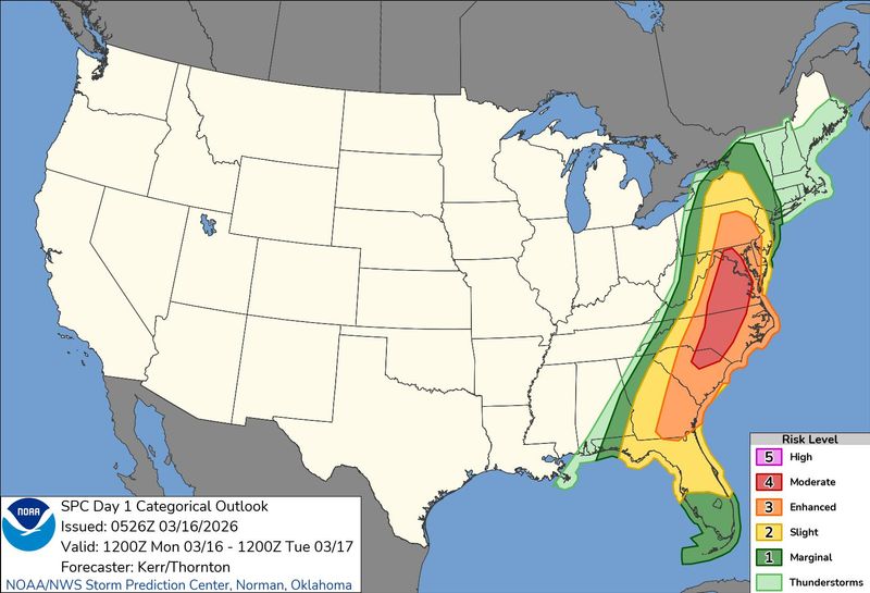
March’s storm is expected to cause high winds, heavy thunderstorms, and travel complications throughout the East Coast, especially in Mid-Atlantic states that are experiencing extreme fluctuations in temperature between 30 and 60 degrees from one day to the next.
Power outages possible if wind fells power lines, limbs
Power outages are also possible in some areas with widespread wind gusts between 40 and 60 mph threatening to bring down power lines and tree limbs.
Utility provider NYSEG said crews are preparing to respond to power emergencies, with some of the highest impacts affecting Putnam County — specifically Brewster — and other parts of Central and Northern New York.
Forecast for Monday, Tuesday in Lower Hudson Valley
Temperatures Monday are expected to reach up to 60 degrees during the day and will dip to around 34 degrees overnight.
Overnight Monday, showers and another thunderstorm are expected, with foggy, windy conditions lasting until early morning Tuesday. About an inch of rain could accumulate in communities throughout the region by Tuesday.
Contributing: Victoria E. Freile, USA Today Network
This article originally appeared on Rockland/Westchester Journal News: Wind advisory for NYC, Westchester, Putnam as ‘megastorm’ nears
Reporting by Alexandra Rivera, Rockland/Westchester Journal News / Rockland/Westchester Journal News
USA TODAY Network via Reuters Connect