Tropical Storm Erin is on track to become the first Atlantic hurricane of the 2025 season, according to the National Hurricane Center (NHC). The storm developed from a tropical wave and was officially named on Monday, Aug. 11.
Where is Erin now?

As of Tuesday morning, Erin was located about 690 miles west of the Cabo Verde Islands, moving west at 22 mph with sustained winds near 45 mph. The NHC expects Erin to strengthen into a hurricane by Thursday, Aug. 14 — and potentially reach major hurricane status (Category 3 or higher) within five days.
What’s the impact so far?
The storm has already caused flash flooding in the Cape Verde Islands, where 7 to 8 inches of rain fell in just five hours, according to Accuweather. At least six people have died, and several others remain missing.
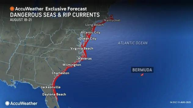
See the storm’s projected path
Could Erin affect New York?
It’s too soon to tell. While Erin is gaining strength, meteorologists say it’s still far out — and the storm’s eventual track remains uncertain.
“It’s way too early to say how this could impact New York,” said Jon Campbell, meteorologist with the National Weather Service in Buffalo.
Models suggest Erin will continue westward over the next few days. The NHC says more clarity on its potential U.S. impact, including for New York and the Northeast, should come by Sunday.
What else should New Yorkers know?
Contributing: USA TODAY
This article originally appeared on Rochester Democrat and Chronicle: Will Tropical Storm Erin impact NY? See tracker and forecast details
Reporting by Victoria E. Freile, New York Connect Team / Rochester Democrat and Chronicle
USA TODAY Network via Reuters Connect