
Get ready for a heat wave this week leading up to the nation’s 250th anniversary on the Fourth of July.
Expect intense heat and humidity — the National Weather Service issued an extreme heat watch for Dutchess, Ulster and Orange counties from July 1-3. The watch has the potential to extend into Independence Day as well.

Joe Villani, a meteorologist at the National Weather Service Albany Office, said he would not recommend doing “anything even remotely strenuous outside,” with heat-related illnesses being a risk.
Make sure to check in on relatives and neighbors, especially those who have increased risk such as “seniors and those with chronic health problems,” Jake Surace, a student volunteer for the National Weather Service New York Office, said.
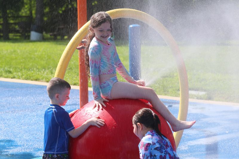
AccuWeather meteorologist Lauren Bader reminded folks celebrating outside to always stay hydrated and find shade while enjoying this weekend’s festivities.
“Obviously, it’s going to be hot, but that humidity is just going to make things so much more brutal,” Bader said.
Here are the highlights of this week’s forecast, where to find your local cooling centers, as well as what is predicted for the Fourth of July so far.
‘A prolonged heat wave’ leading up to Independence Day
June 30 is already going to be a hot one, around 90 degrees for the Poughkeepsie and Middletown areas, but it’s only going to “ramp up” from there, according to Villani.
Dangerous heat begins on July 1, with temperatures at nearly 100 degrees for the mid-Hudson Valley.
For the Poughkeepsie area, July 2-3 are expected to be over 100 degrees. For the Middletown area, July 2 is predicted to be 100 degrees, while July 3 is appearing to be about 99 degrees.
The heat index, also known as the “feels-like temperature,” or a combination of the temperature and humidity, Villani said, might climb as high as 110 degrees in some parts of the mid-Hudson Valley later this week.
“This looks like a prolonged heat wave,” Vilanni said.
Some areas, over the course of the week, may get a sporadic thunderstorm, so plan to keep an eye on the forecast, according to Villani.
Overnight, temperatures won’t be getting much lower than the low-to-mid-70s either, so “it’s unfortunately not going to cool off too much for those who do not have air conditioning,” Villani said.
“It’s going to be hard to really cool off your house or apartment, even at night, just because it will have been so hot and humid during the day,” Villani said later. “It’ll be really difficult, so if anybody could try to find some sorts of cooling or air conditioning, I would definitely, definitely recommend that.”
Find your local cooling centers
For those in the area without air conditioning, seeking cool places and taking precautions this week will be a must.
The New York State Department of Health suggests calling all cooling centers for specific hours of operation. Some cooling centers in the area are open daily, while others are only as needed.
If the nearest cooling center to you is not available, DOH also suggests visiting supermarkets, malls and air-conditioned libraries to stay cool.
Before visiting a local cooling center, call for operating hours and check with your local municipality for additional cooling center options.
For Dutchess County cooling centers and stations, visit dutchessny.gov/Departments/DBCH/Cooling-Centers-in-Dutchess-County-New-York.htm.
For Orange County cooling centers, visit orangecountygov.com/2660/Cooling-Centers-in-Orange-County.
For Ulster County cooling centers, visit ulstercountyny.gov/Departments/Emergency-Services/Warming-and-Cooling-Centers.
Mid-Hudson Valley’s hot and humid Fourth of July
On the nation’s 250th anniversary, mid-Hudson Valley residents won’t be feeling much relief from the oppressive heat, and according to Surace, there’s a possibility the heat watch will extend to Independence Day.
“Anyone that’s going out and about to celebrate the holiday weekend, they just want to be really cognizant of that heat,” Bader said.
Temperatures are expected to persist in the mid-to-high-90s, along with high humidity, and there’s a 30%-40% chance of a thunderstorm in the afternoon to early evening hitting July Fourth.
The storm is not guaranteed yet, and meteorologists will be working to solidify the forecast as the week progresses, Villani said.
Although, Bader said any storms should clear out in time for fireworks.
As the day winds down and people gear up for those flashing displays, temperatures are only going down into the 80s in the first hour or two after sunset, when most fireworks are.
Plus, Bader said, it’s looking like everyone will be able to enjoy fireworks shows, as there won’t be much cloud coverage Saturday night, besides some upper-level clouds, but that shouldn’t impact the night’s festivities.
Nickie Hayes is Breaking & Trending News Reporter for the Poughkeepsie Journal. See her most recent articles here. Contact reporter Nickie Hayes: NHayes@poughkee.gannett.com, 845-863-3518 and @nickieehayess on Instagram.
This article originally appeared on Poughkeepsie Journal: ‘Prolonged’ Heat wave hitting the Hudson Valley leading up to July 4
Reporting by Nickie Hayes, Poughkeepsie Journal / Poughkeepsie Journal
USA TODAY Network via Reuters Connect
By Nickie Hayes, Poughkeepsie Journal | USA TODAY Network