Wondering what the air quality is like outside right now? Residents can track current air quality levels across New York and around the world with this free interactive map, which uses data from thousands of monitoring stations.
The map is created by IQAir, a Swiss air-quality monitoring company that says it operates the world’s largest free real-time air quality monitoring platform.

Where does the air quality data come from?
IQAir collects measurements from nearly 39,000 monitoring stations worldwide to show current air conditions. Regional monitoring sites in New York include locations in Buffalo, Olean, Ontario County, Cornell University and the Southern Tier.
Why New York air quality is worsening
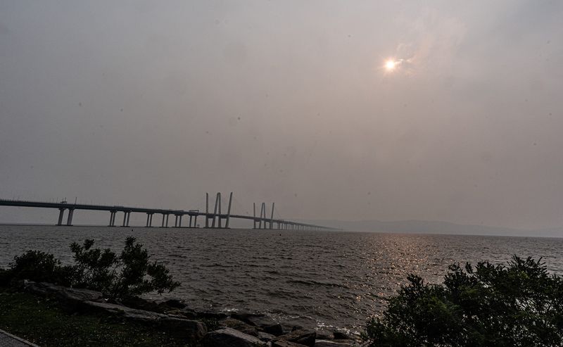
Smoke from Canadian wildfires has drifted into New York, creating hazy skies and pushing air quality levels higher across much of the state.
The New York State Department of Environmental Conservation has issued an Air Quality Health Advisory because of elevated levels of fine particulate pollution.
Who is most at risk from wildfire smoke?
People most vulnerable to wildfire smoke include:
How to protect yourself
Health officials recommend:
When to seek medical care
People experiencing serious symptoms, including wheezing, chest pain or significant shortness of breath, should move to a clean, air-conditioned environment and seek medical care.
This article originally appeared on Rockland/Westchester Journal News: New York air quality map: Check current AQI and smoke levels where you live
Reporting by Victoria E. Freile and Bill Wolcott, New York Connect Team / Rockland/Westchester Journal News
USA TODAY Network via Reuters Connect
By Victoria E. Freile and Bill Wolcott, New York Connect Team | USA TODAY Network