A cold weather advisory is in effect across much of western and central New York from Friday afternoon through Saturday morning, with dangerously low wind chills expected. Wind chills could fall to 15 below zero from 7 p.m. Friday to 10 a.m. Saturday in areas including Niagara, Monroe, Genesee, Livingston and Ontario counties.
In southern Erie, Wyoming and the western Southern Tier, wind chills could drop as low as 20 below zero beginning as early as 1 p.m. Friday, according to the National Weather Service.

Frostbite possible in 30 minutes
Forecasters warn that frostbite can occur on exposed skin in as little as 30 minutes, with hypothermia a risk during prolonged exposure. The cold will be especially dangerous during overnight hours and early Saturday morning.
How to stay safe in extreme cold
Residents are urged to limit time outdoors, wear multiple layers, hats and gloves, and use caution when traveling. Officials also recommend checking on elderly neighbors and using space heaters properly. Generators and grills should never be used indoors.
Major storm to impact NY
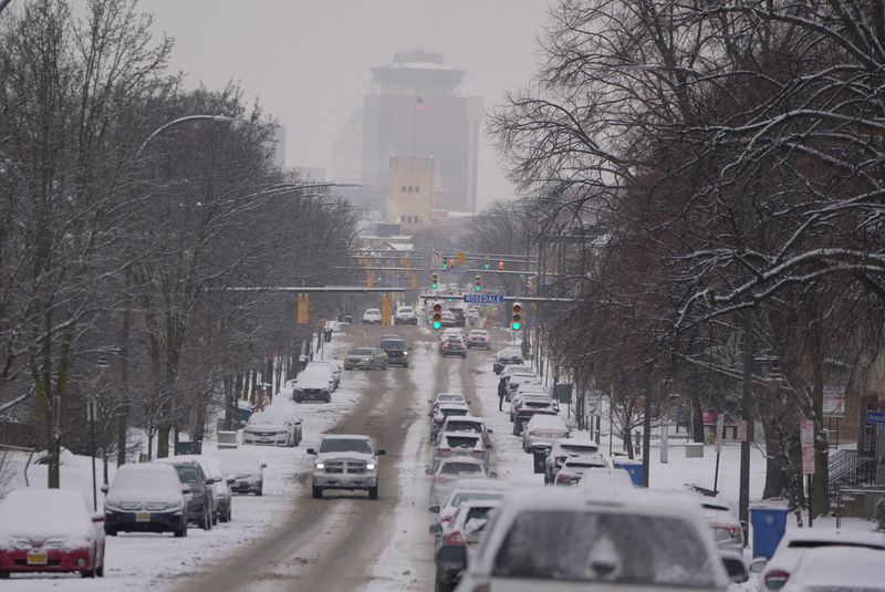
Snow is already falling across parts of western and central New York, but forecasters say the most dangerous phase of a major winter storm is still ahead. Conditions are expected to deteriorate late Saturday, with heavy snow intensifying Sunday morning, peaking Sunday afternoon and evening, and continuing overnight into Monday.
A winter storm watch is in effect from late Saturday through Monday evening for much of western and north-central New York, including the Genesee Valley, Finger Lakes and Lake Ontario shoreline. Meteorologists warn that “significant accumulations” are likely and could disrupt travel, including the Monday morning commute.
Snow may linger into Monday, with additional lake-effect snow possible into Tuesday. Bitter cold and strong winds are expected to follow, creating dangerous wind chills that could prolong impacts well into next week.
— Madison Scott is a journalist with the Democrat and Chronicle who covers breaking and trending news for the Finger Lakes Region. She has an interest in how the system helps or doesn’t help families with missing loved ones. She can be reached at MDScott@gannett.com.
This article originally appeared on Rochester Democrat and Chronicle: How cold will it get in New York? Extreme cold sets in before snow
Reporting by Madison Scott and Victoria E. Freile, New York Connect Team / Rochester Democrat and Chronicle
USA TODAY Network via Reuters Connect