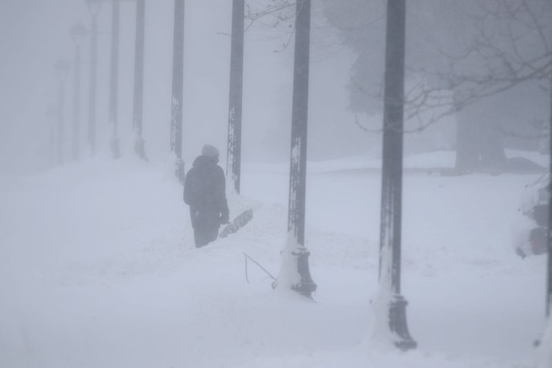
A powerful pattern shift is on deck, bringing the first true blast of winter to the Great Lakes and Northeast regions.
This system will pull cold, Canadian-origin air into New York and interior New England, setting the stage for the season’s first widespread freezes and early winter conditions.

The Climate Prediction Center warns of the potential for early-season lake-effect snow, gusty winds, and temperatures well below normal, especially across interior and upstate regions.
“While New England has already experienced a first freeze precluding a temperature hazard, the increased wind speeds will likely lead to a notable decrease in wind chill values,” the Climate Prediction Center wrote in a forecast. “…Lake Effect Snow also possible downwind of Lakes Ontario and Erie.
“Snowfall amounts in the models are not all that impressive, but this would be noteworthy given that it is early in the season,” the forecast adds.
When will New York get snow?
Upstate and Western New York are set to see snow this weekend into early next week. The National Weather Service in Rochester reports:
Interior and upstate regions may see the season’s first accumulations, especially in higher terrain and areas downwind of Lakes Erie and Ontario.
What is lake-effect snow?
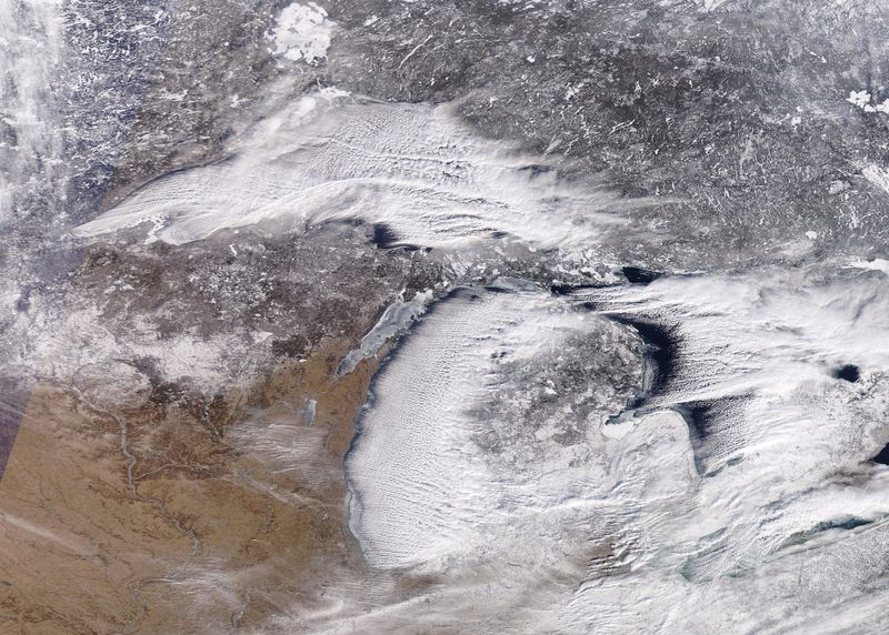
Lake-effect snow typically happens when cold, dry Arctic air moves over a large, relatively warm lake, creating narrow bands of clouds that can dump snow anywhere from a few minutes to several days.
Next week’s air is actually coming straight from Canada, but it’s cold enough to create a slight risk for lake-effect snow, especially if winds line up just right.
Wind direction also matters a lot — it can mean heavy snow in one town while a sunny mile or two away sees nothing.
Will La Niña impact New York this winter?
La Niña has officially developed and is expected to stick around through winter before easing back to ENSO-neutral by early spring. In the Northeast, this typically shifts the jet stream northward, which can bring colder-than-average temperatures and above-average snowfall, especially in Upstate New York.
This winter, the easterly phase of the Quasi-Biennial Oscillation (QBO) adds an extra twist: it can loosen the polar vortex — essentially a tight ring of winds that usually keeps Arctic air bottled up. When the vortex wobbles, frigid air can spill south, increasing the chance for Arctic blasts, subzero temperatures and heavy snow events, including lake-effect snow.
Upstate New York often sees strong westerly to northwesterly winds over the Great Lakes, which can enhance lake-effect snow for Buffalo, Rochester and Syracuse. If the lakes remain unfrozen later into winter, snow events could be more intense and frequent than usual.
Downstate, New York City and Long Island generally see less snow from La Niña itself, as coastal storms tend to track farther north, bringing rain more often than snow. That said, cold snaps caused by a wobbly polar vortex can still align with these storms, producing notable snow events, just less consistently than Upstate.
What is La Niña?
La Niña — Spanish for “the girl” — happens when the surface waters of the central and eastern Pacific Ocean are colder than normal for several months in a row, according to the National Weather Service. It’s part of a natural climate pattern called the El Niño–Southern Oscillation, which flips back and forth every few years between La Niña (cooler waters) and El Niño (warmer waters).
These shifts in ocean temperatures may seem small, but they can nudge the jet stream and change weather patterns all over the world. While its counter part El Niño — “the boy” — often brings milder winters to the northern U.S., La Niña tends to set the stage for colder snaps and more volatile conditions there.
When ocean temperatures in the central and eastern Pacific are close to average — not unusually warm like El Niño or unusually cool like La Niña — scientists call it ENSO neutral. Neutral conditions mean the Pacific isn’t giving the atmosphere a strong push one way or the other, so seasonal weather patterns are more likely to be shaped by other factors, like the Arctic or Atlantic oceans.
New York weather watches and warnings
Stay informed. Get weather alerts via text
Brandi D. Addison covers weather across the United States as the Weather Con
This article originally appeared on Rochester Democrat and Chronicle: First blast of winter could unleash lake-effect snow in parts of NY. What to know
Reporting by Brandi D. Addison, USA TODAY NETWORK / Rochester Democrat and Chronicle
USA TODAY Network via Reuters Connect