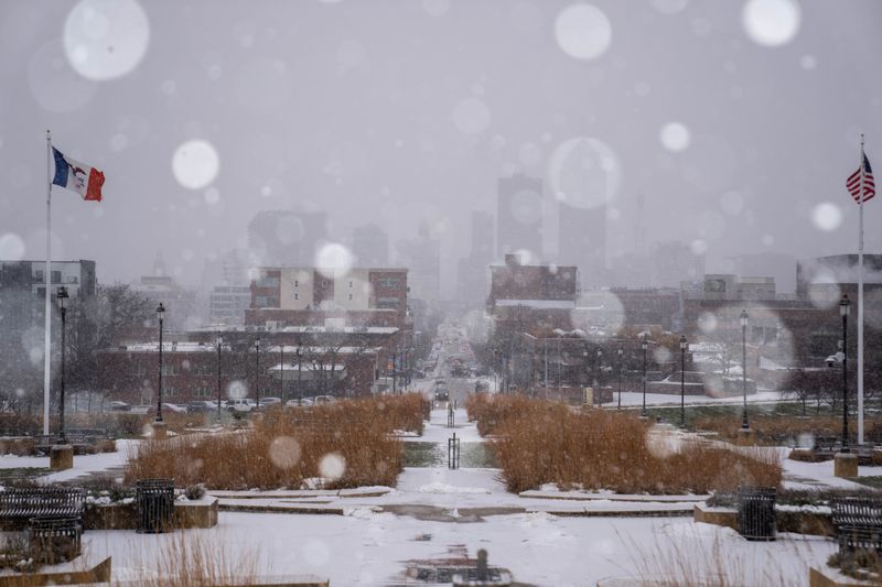
The threat of fire has now been replaced by the threat of snow in Iowa. A winter storm warning will cover parts of Iowa as a storm that formed in the west is now making its way over to Iowa.
Rain and snow are expected on Thursday, Feb. 19, starting in the afternoon and continuing through the evening, according to the National Weather Service in Des Moines.

Here’s what to know.
How many inches of snow will we get today?
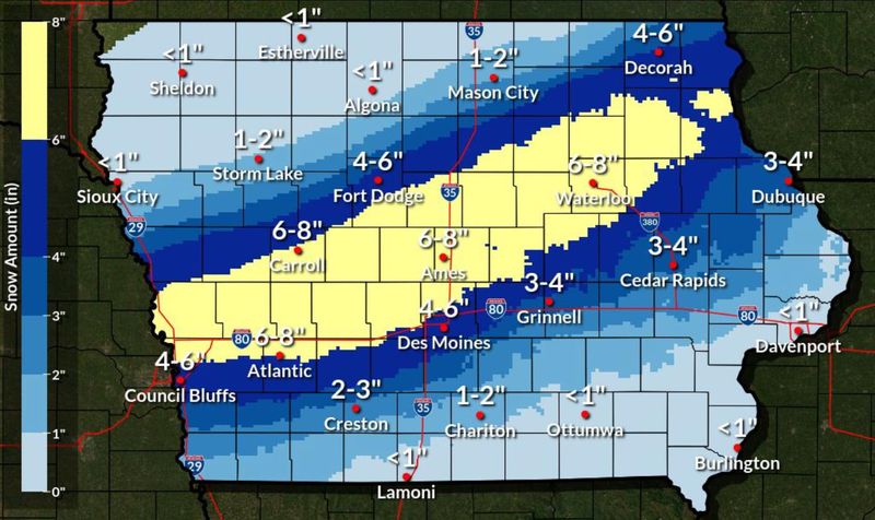
The NWS is expecting between 2 and 8 inches of snow across Iowa, although shifts in the storm’s location could change which cities see that snow.
A narrow band of heavier snowfall is forecast to sweep through west to central Iowa. Six inches of snow and more are possible in this corridor. However, location changes could alter forecast snow amounts.
The band of 6-8 inches of snow stretches from Atlantic and Carroll through to Ames and Waterloo. Des Moines sits just south of the band, with 4-6 inches expected. Cedar Rapids can expect 3-4 inches, while just south in Iowa City, 2-3 inches is more likely.
The NWS warns that snow amounts will vary across short distances — even across 10 miles — in the heavier band.
Is there a winter storm warning in Iowa?
Yes. A winter storm warning has been expanded to include much of the Des Moines metro area.
The warning begins at 3 p.m. Thursday and continues until 6 a.m. Friday for these counties:
The warning begins at 6 p.m. Thursday and continues until 6 a.m. Friday for these counties:
Additional western Iowa counties are under a winter storm warning from noon Thursday until 6 a.m. Friday.
Will snow cause road condition problems in Iowa?
The weather will start out as rain or a mix of rain and snow before changing fully into snow. It’s expected to fall fast — rates may near or exceed an inch per hour.
That means snow will quickly build up on roads, causing slick travel conditions. Wind gusts may reach 40 mph and above.
Drive carefully through your Thursday evening commute.
Where can you check Iowa road conditions?
For the latest travel conditions, check the Iowa 511 app for iOS or Android, 511ia.org, or dial 511.
Iowa weather radar: Track incoming rain and snow
Lucia Cheng is a service and trending reporter at the Des Moines Register. Contact her at lcheng@gannett.com or 515-284-8132.
This article originally appeared on Des Moines Register: How much snow are we supposed to get? Iowa under winter storm warning
Reporting by Lucia Cheng, Des Moines Register / Des Moines Register
USA TODAY Network via Reuters Connect