(This story has been updated to add information.)
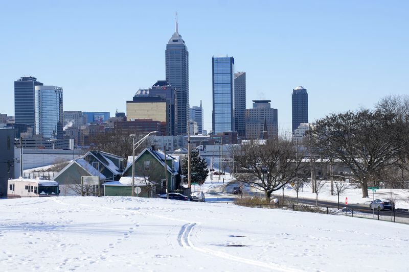
Meteorologists aren’t ruling out the possibility of a December tornado risk as the Indianapolis area’s record high temperature of 66 degrees plummets tonight. Not only does the time between Christmas and the New Year feel like a blur, but it’ll also feel cold now, according to National Weather Service (NWS) Indianapolis.

Meteorologist Andrew White said starting this afternoon, a storm is set to bring winds of up to 50 mph.
“Now, we’re thinking it should hit between 6:30 and 8:30 p.m., moving from west to east,” White told IndyStar. “We can’t rule out a possible tornado. It’s certainly not a peak time, but we’ve seen them across Indiana in December.
There will be a sharp drop in temperatures tonight from 66 to 17 degrees, with wind chills right around 0.
White said temperatures on New Year’s Eve will be a little bit warmer, but temperatures will go back down by Thursday, Jan. 1, 2026.
Here’s what to expect this week, leading up to the New Year.
Tornado warning issued for parts of Indiana
NWS Indianapolis issued a tornado warning for parts of Illinois, Indiana, Kentucky and Missouri until 9 p.m.
Indianapolis, Lafayette, Logansport, Terre Haute, Bloomington, Bedford, and Evansville are highlighted as parts of Indiana where a couple of tornadoes are possible, according to the NWS Indianapolis. Up to a quarter-sized hail is possible with winds reaching 75 mph.
Forecast for New Year’s Eve and on
Sunday: Cloudy skies with a high of 67 degrees. Gusty winds can get up to over 40 mph.
/ Sunday night: There’s a 100% chance for rain with strong storms containing gusty winds. Earlier in the night, showers and thunderstorms will hit before becoming cloudy after midnight. The low is 17 degrees.
Monday: Overcast, windy skies with a high of 24 degrees that could occasionally gust over 50 mph.
Monday night: A few clouds in the skies with a low of 15 degrees.
Tuesday: A mix of clouds and sun in the morning, with a high of 27 degrees, followed by cloudy skies during the afternoon.
Tuesday night: A few clouds with a low of 26 degrees.
/ Wednesday: Cloudy skies with a high of 34 degrees.
/ New Year’s Eve: Cloudy skies with a low around 20 degrees.
Thursday: Partly to mostly cloudy skies with a few flurries or snow showers possible. The high is around 25 degrees.
Thursday night: Partly cloudy skies with a low of 16 degrees.
Friday: Partly cloudy skies with a high near 30 degrees.
Friday night: Partly cloudy skies with a low around 20 degrees.
Saturday: Considerable clouds early in the morning with a decrease in clouds later in the day. The high is 32 degrees.
Saturday night: A few clouds in the sky with a low near 20 degrees.
Here’s the winter weather info you need
Indiana Weather Alerts: Warnings, Watches and Advisories.
Indiana power outage map: How to check your status.
Internet outages: How to track them.
What you should and shouldn’t do when the power is out.
Your neighbor left their pet outside. Who you should call.
Indianapolis weather radar
Winter weather travel advisories
Jade Jackson is a Public Safety Reporter for the Indianapolis Star. You can email her at Jade.Jackson@IndyStar.com and follow her on X, formerly Twitter @IAMJADEJACKSON.
This article originally appeared on Indianapolis Star: Severe storms are expected as high temperatures plummet. Is there a tornado risk?
Reporting by Jade Jackson, Indianapolis Star / Indianapolis Star
USA TODAY Network via Reuters Connect