After two years of testing, the National Hurricane Center’s cone of uncertainty will have updated graphical elements for the 2026 hurricane season.
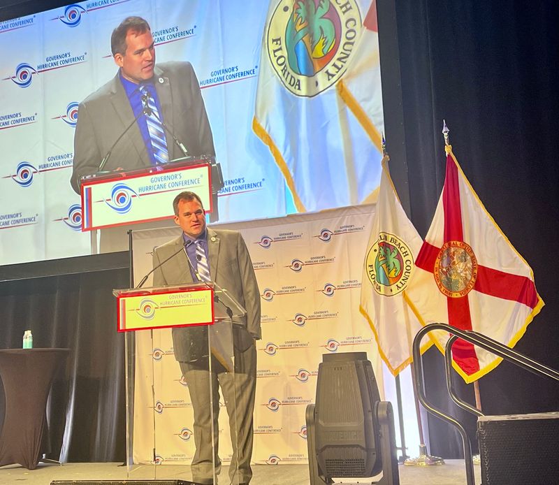
At the Governor’s Hurricane Conference in West Palm Beach, Florida, Michael Brennan, director of the National Hurricane Center, discussed the center’s new cone of uncertainty, along with an experimental cone.

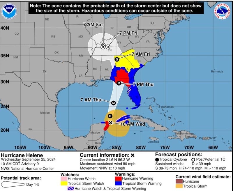
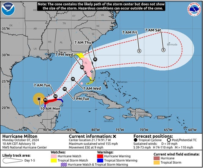
The five-day track graphic, frequently referred to as the “cone of uncertainty,” has been in use since 2002. Previously, it showed only the likely path of the center of a particular storm, as well as markings along coastlines where tropical storm and hurricane watches and warnings were in effect. It didn’t show the full scope of impacts including high winds and rain, and also excluded inland areas that were under watches and warnings.
Now, the graphic will feature inland watches and warnings from tropical storms and hurricanes throughout the continental U.S., Hawaii, Puerto Rico and the U.S. Virgin Islands, intending to better convey that impacts can still occur outside of the cone.
At the conference, Brennan also discussed a new experimental cone that will be launching this year. The graphic will be drawn with ellipses rather than the previous concentric circles, according to the USA TODAY Network, as research by the National Hurricane Center demonstrated they were more effective at illustrating possible forecast errors along the track and cross track.
With the experimental graphic, the center of the storm is likely to stay inside the cone 9 times out of 10, Brennan said at the conference.
When is Atlantic hurricane season?
The 2026 Atlantic hurricane season will last from June 1 to November 30.
South Florida is particularly at risk of hurricanes this year, according to Colorado State University’s April 9 seasonal forecast. Monroe County, home of the Florida Keys, for instance, has the highest chance of seeing a hurricane come within 50 miles, while Miami-Dade, Broward and Palm Beach are also among the top 10 counties at risk of being affected.
According to CSU, there is a 74% probability that a named storm will pass within 50 miles of Florida’s coast and a 21% chance that a major hurricane could do the same during the 2026 hurricane season.
NOAA’s 2026 hurricane season forecast will be released on May 21.
Stay informed. Get weather alerts via text
Sarah Perkel is a South Florida Connect Reporter for the USA TODAY Network’s Florida Connect team. You can get all of Florida’s best content directly in your inbox each weekday day by signing up for the free newsletter, Florida TODAY.
This article originally appeared on Palm Beach Post: Why the new 2026 hurricane cone shows more risk beyond the track
Reporting by Sarah Perkel, USA TODAY NETWORK / Palm Beach Post
USA TODAY Network via Reuters Connect