All is quiet in the tropics for Memorial Day weekend − just days before the start of hurricane season.
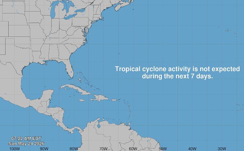
According to the Sunday, May 24, 2026, weather advisory from the National Hurricane Center in Miami, Florida, tropical cyclone activity was not expected during the next 7 days. The hurricane center resumed its tropics advisories May 15.

In 2025, no storms made landfall in the U.S. during hurricane season, but it was an active one.
Next month marks the beginning of the 2026 Atlantic hurricane season.
➤ What to prepare for? Atlantic hurricane season predictions for 2026
The hurricane center graphics and live weather radars below show what’s swirling in the tropics (if anything) as well as the conditions for potential rain, flash flood and other warnings.
Atlantic hurricane season is from June 1 to Nov. 30 every year, with the most activity between August and October. Should a weather system develop into a tropical storm, the first system would be named Arthur, which tops the list of the 2026 Atlantic hurricane season names (see below).
➤ Weather alerts via text: Sign up to get updates about current storms and weather events by location
Keep reading for information about tropical storm activity for Sunday, May 24, 2026.
National Hurricane Center in Miami, Florida, forecast on tropical activity: Is there a tropical storm or hurricane now?
According to the Sunday, May 24, 2026, tropical outlook from the National Hurricane Center in Miami, Florida, there are no active systems churning in the open waters of the North Atlantic. The graphic above automatically updates with the most recent location for any or all disturbances.
The Atlantic basin consists of the northern Atlantic, Caribbean Sea and Gulf of America. NOAA changed its naming convention for the Gulf of Mexico after the U.S. Geological Survey changed the name on U.S. maps per President Trump’s order.
The Sunday, May 24, tropical weather discussion from the National Hurricane Center states:
A tropical wave in the western Caribbean is nearly stationary, with surface and upper air data from San Andres Island indicating the wave remains east of the island. Isolated showers over the Panama, Costa Rica and Nicaragua offshore waters.
The Gulf of America, formerly known as the Gulf of Mexico: Middle to upper level diffluence continue to support heavy showers and thunderstorms over the NW, north-central and E Mexico offshore waters. GLM satellite data indicate strong lightning pulses likely generating gusty winds, rough seas and limited visibility in those areas. Otherwise, the Atlantic subtropical ridge that extends into the NE Gulf is supporting gentle to moderate SE winds ahead of the areas of convection along with slight to moderate seas to 5 feet.
In the Caribbean Sea: The pressure gradient between the subtropical ridge that extends into the northern Caribbean, and the Colombian Low continue to support fresh to strong trades in the central Caribbean as well as the Gulf of Honduras. Elsewhere, trades are moderate to fresh and seas 4-7 ft, except 7-9 ft offshore Colombia. Otherwise, scattered showers are ongoing over the waters adjacent to southern Cuba, the Windward Passage and offshore southern Dominican Republic.
In the Atlantic Ocean: A broad subtropical ridge dominates the Atlantic waters, providing moderate to fresh trades and 5-7 foot seas. Winds are locally strong along the northern shore of Hispaniola. Moderate or weaker winds are elsewhere.
The USA TODAY Network in Florida will produce daily tropics watch advisories.
Is it raining in Florida today? Live weather radar
Shown is the National Weather Service radar, which shows conditions in real-time for the Southeast United States and parts of Central Florida. The current date and time show up on the bottom right of this radar embed; otherwise, you may need to clear your cache.
Weather watches and warnings issued in Florida
What are the 2026 Atlantic hurricane season names? Did your name make the hurricane season names list?
Since 1953, the National Hurricane Center has released a list of names in alphabetical order for Atlantic tropical storms before each season begins, which it recycles every six years. It retires names of storms that are excessively deadly or costly, if it would be insensitive or inappropriate to use them again. These are the 2026 Atlantic tropical cyclone names:
Interactive map: Hurricanes, tropical storms that have passed near your city
Stay informed. Get weather alerts via text
What’s next?
We will provided tropical weather coverage daily until Nov. 30 to keep you informed and prepared. Download your local site’s app to ensure you’re always connected to the news. And look for our special subscription offers here.
Contributing: Cheryl McCloud and Olivia Franklin, USA TODAY Network-Florida
This article originally appeared on Fort Myers News-Press: Tropics are quiet as Florida prepares for 2026 hurricane season
Reporting by Jennifer Sangalang, USA TODAY NETWORK – Florida / Fort Myers News-Press
USA TODAY Network via Reuters Connect