The Newaygo County Sheriff’s Office is warning residents and Muskegon River users to use extreme caution between mile markers 3 and 4 because of dangerous landslides along the riverbank.
“These slides are currently impacting nearby homes and shoreline property,” the Sheriff’s Office said. “Unstable ground, falling debris, and sudden bank collapse may create dangerous conditions for boaters, anglers, kayakers, swimmers, and anyone traveling through this section of the river.”

The post on Facebook on May 21 said people should avoid traveling close to the shoreline in the area and remain alert for:
“Property owners in the area are monitoring conditions closely and are reporting significant movements to local authorities,” the Sheriff’s Office said.
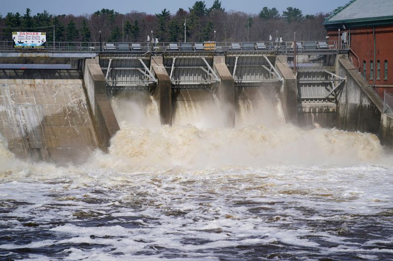
According the Newaygo Nationals Association, a group that seeks to foster, facilitate and teach outdoor education, conservation and encourage participation in paddling and outdoor recreation, mile markers 3 and 4 are downstream of the Croton Dam, in the Carmichael Flats and Sand Hill stretch of the river.
According to NOAA river data, the Muskegon River was at about 6 feet on Thursday, May 21, just downstream of the Croton Dam and about 8.4 feet at Newaygo.
This article originally appeared on Lansing State Journal: Muskegon River banks are unstable. Use ‘extreme caution,’ officials warn
Reporting by Dan Basso, USA TODAY NETWORK / Lansing State Journal
USA TODAY Network via Reuters Connect