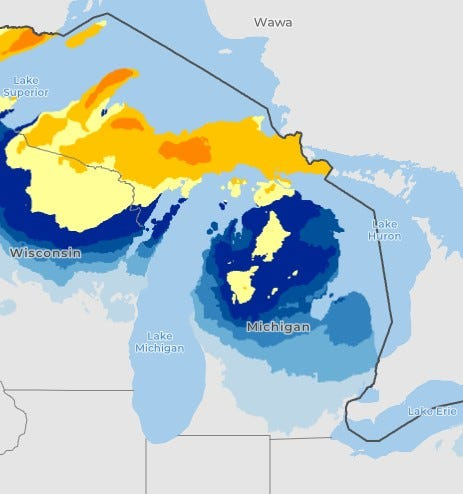
Parts of Michigan’s Upper Peninsula could see up to 17 inches of snow develop this week while southern areas are expected to endure powerful winds, weather forecasters say.
“Round two of a stretch of impactful winter weather is set to return tonight through Friday (March 12) in the form of a quick hitting but strong clipper,” the Marquette National Weather Service said on X on March 12.

On March 12, weather officials issued a winter storm warning and watch for the Upper Peninsula and the northern Lower Peninsula until Friday night, March 13. A high wind watch is also in place for the southern Lower Peninsula.
By Friday afternoon, March 13, snow will develop statewide. Parts of the Lower Peninsula are expected to see trace amounts all the way up to 7 inches.
“1 to 3 inches of snow will be possible north of I-69 before temperatures climb above freezing late Friday morning (March 13),” the Detroit NWS said on X on March 12. “Lesser amounts to the south including Metro Detroit.”
Officials urge residents to stay weather aware and to prepare for slippery travel — especially on Friday morning and evening commutes, March 13 — and for isolated power outages.
The Gaylord NWS office said snow will fall by Friday, and then a major storm will strike heading into the new week.
“A major winter storm will likely impact the state Sunday into Monday, including the potential for 12-plus inches of snow and significant icing. Changes in potential impacts for specific locations may still occur, so stay tuned to the latest forecast for updates,” the Gaylord office said on X on March 12.
The Grand Rapids office issued a similar forecast for the Lower Peninsula.
“Snow, rain and strong winds will move through on Friday. Then a storm on Sunday will bring heavy snow, freezing rain and rain, followed by a shot of arctic air and lake effect snow showers for early next week,” the NWS in Grand Rapids said.
Here’s more on the heavy snow and winds coming to Michigan:
Is a winter storm warning in place in Michigan today?
Yes. From 11 p.m. on Thursday, March 12, until 5 p.m. on Friday, March 13, a winter storm warning is in place for the central to western U.P. for heavy snow — up to 17 inches — and wind gusts up to 50 mph.
A winter storm watch is also in place for the eastern U.P. and norther Lower Peninsula until Friday evening, March 13, with up to 11 inches of snow and 40 mph gusts expected.
Where is a high wind watch in place?
A high wind watch has been issued for the southern half of the Lower Peninsula for 20-60 mph gusts until Friday evening, March 13.
“Damaging winds could blow down trees and power lines. Widespread power outages are possible. Travel could be difficult, especially for high profile vehicles,” NWS said.
Track the warnings, watches and advisories issued in Michigan
Is it snowing in Michigan right now? Live radar
Contact Sarah Moore @ smoore@lsj.com
This article originally appeared on Lansing State Journal: 17 inches of snow possible in the UP. Winter storm warning, wind watch
Reporting by Sarah Moore, Lansing State Journal / Lansing State Journal
USA TODAY Network via Reuters Connect