
Metro Detroit’s forecast calls for Thursday morning showers with a chance of thunderstorms, a warm and dry weekend, followed by heat and humidity, officials said.
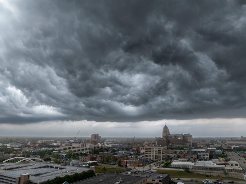
Showers with isolated thunderstorms early Thursday are expected to dissipate, but storm chances grow in the afternoon, and there’s potential for isolated damaging winds, according to the National Weather Service.

Agency officials said there is also a marginal risk of severe thunderstorms in the Bay City-Midland-Saginaw area and the Thumb region on Thursday afternoon and evening. The most likely window for the storms is between 3 and 7 p.m.
Thursday’s temperatures across Southeast Michigan are predicted to range between 74 degrees and 80 degrees, the NWS said. It expects Detroit’s high to reach 79 degrees. The city’s average monthly high temperature in June is 79.7 degrees.
Officials said a low-pressure system moving across central Lower Michigan throughout the day will drive the region’s weather.
What’s ahead
Conditions are expected to dry out Thursday night and remain dry on Friday, according to the NWS forecast. However, it warns there’s a chance for a few showers near the Ohio border on Friday evening.
Friday’s temperatures across the region are expected to reach into the mid-70-degree range, the agency said. Detroit’s high temperature on Friday is expected to reach 76.
Officials said a warmup in the region is on tap for the weekend. They said the high in Southeast Michigan should reach near 80 on Saturday and touch the lower 80s on Sunday. Detroit is looking at a high of 79 on Saturday and a high of 84 on Sunday.
NWS officials predict a heatwave starts Monday, bringing the potential for 90-plus-degree temperatures for much of the state over a four-day stretch.
Heat indices could exceed 100 degrees, and there are chances for thunderstorms in the middle of the week.
Monday’s high temperature in Detroit is expected to reach 92, followed by 98 on Tuesday and Wednesday, according to the agency.
“Hot and humid conditions develop for much of next week,” the weather service said. “Most of Lower Michigan is within a major risk of heat-related impacts. Plan to limit time outdoors and stay hydrated during the holiday week.”
Extended Detroit forecast
Friday: Partly sunny; high 76, low 60.
Saturday: Mostly sunny; high 79, low 61.
Sunday: Mostly sunny; high 84, low 67.
Monday: Mostly sunny; high 92, low 73.
Tuesday: Mostly sunny; high 98, low 75.
Wednesday: Sunny, high 98.
Source: National Weather Service
cramirez@detroitnews.com
@CharlesERamirez
This article originally appeared on The Detroit News: NWS: Storms to head into Metro Detroit before heat
Reporting by Charles E. Ramirez, The Detroit News / The Detroit News
USA TODAY Network via Reuters Connect
By Charles E. Ramirez, The Detroit News | USA TODAY Network