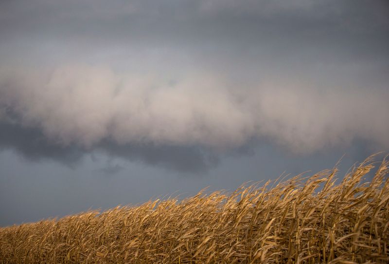
SPRINGFIELD – Severe thunderstorms are predicted across central Illinois starting late afternoon on March 10 and continuing late into the night.
The National Weather Service out of Lincoln posted an image to social media listing several possible severe hazards: damaging wind, large hail, and a few potentially strong tornadoes. Heavy rain and localized flooding may also develop.

In the graphic, Springfield is in a zone characterized as 3 out of 5 for severe storms, or “enhanced.”
Areas generally south of I-72 show as level 2 on the scale, or “slight.”
Looking at the Detailed Forecast for Springfield, Tuesday is predicted to be a high near 80 during the day. Showers and thunderstorms are likely on Tuesday night, then showers and possibly a thunderstorm after 11 p.m.
The chance of precipitation is 100%, with new rainfall amounts between a quarter and half of an inch possible.
Tom Ackerman covers breaking news and trending news along with general news for the Springfield State Journal-Register. He can be reached at tackerman@usatodayco.com.
This article originally appeared on State Journal-Register: Central Illinois at ‘enhanced’ risk of severe storms on Tuesday
Reporting by Tom Ackerman, Springfield State Journal-Register / State Journal-Register
USA TODAY Network via Reuters Connect