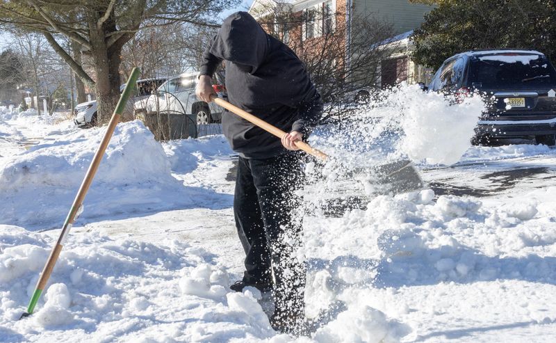
Michigan will see steady snowfall and blustery winds early this week, with the heaviest accumulations predicted in the Upper Peninsula. Wind chills are also expected to be dangerous.
On Tuesday, Feb. 24, a clipper system is expected to arrive in Michigan and drop 0.5-9.5 inches of snow by Thursday morning, Feb. 26. The heaviest accumulations are forecast in the eastern U.P. and along the Keweenaw Peninsula, in the western U.P., at 5-9.5 inches. The rest of the state is predicted to see 0.5-4 inches of snow, according to the National Weather Service’s Probabilistic Precipitation Portal.

The heaviest snowfall is predicted to occur during evening hours on Tuesday, Feb. 24, lasting through 1 a.m. on Wednesday, Feb. 25, then to gradually slow down, according to the Gaylord NWS office.
A winter weather advisory is in effect for the central U.P. for additional accumulations and 30 mph wind gusts creating dangerous travel on Tuesday morning, Feb. 24. There is also a heavy freeze spray warning for Lakes Superior and northern Huron for rapid ice accumulation through Tuesday, Feb. 24.
Southern counties in the Lower Peninsula are expected to see relatively light snow, with Coldwater expected to see a rain late on Tuesday, Feb. 24.
Statewide temperatures will be frigid under 20-30 mph gusts.
The Lower Peninsula is expected to see highs in the upper 20s to 30s dropping to lows in the single digits to teens at night. Wind chills are expected to be in the sub-zero single digits.
In the U.P., highs will be in the teens to 20s with lows in the single digits to teens. Dangerous wind chills will set in across the U.P.
Sault Ste. Marie, located in the eastern U.P., is forecast to see a wind chill of minus 23 degrees on Tuesday, Feb. 24.
Here’s what’s next in the National Weather Forecast for cities in Michigan, Feb. 24-26:
When will it snow in Detroit this week?
Here is the forecast for Detroit:
How cold will it be in Lansing this week?
Here is the forecast for Lansing:
Is it expected to snow in Grand Rapids this week?
Here is the forecast for Grand Rapids:
What will the weather be like in southwest Michigan?
Here is the forecast for Coldwater:
Here is the forecast for Kalamazoo:
Here is the forecast for St. Joseph:
How cold will wind chills be in northern Michigan?
Here is the forecast for Gaylord:
Here is the forecast for Traverse City:
Here is the forecast for Alpena:
How much snow is expected to fall in the Upper Peninsula this week?
Here is the forecast for Marquette:
Here is the forecast for Sault Ste. Marie:
Here is the forecast for Ironwood:
Contact Sarah Moore @ smoore@lsj.com
This article originally appeared on Lansing State Journal: More snow brewing over Michigan. Where 9.5 inches will fall this week
Reporting by Sarah Moore, Lansing State Journal / Lansing State Journal
USA TODAY Network via Reuters Connect