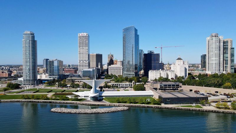
The Milwaukee area is getting its “first real taste of fall” for the year.
That’s happening early this week. But, as usual with Wisconsin, it’s not expected to last.

We’ll likely get another warm-up between the end of the month and beginning of September — “typical fall activity,” according to Taylor Patterson, meteorologist for the National Weather Service Milwaukee/Sullivan.
For much of the state, Monday Aug. 25 and Tuesday, Aug. 26 are expected to be the coldest days of the week, Patterson said.
And, if you’re way up north, the meteorologist described your lows as “brutal.” Sorry.
Here’s a look at this week’s temperatures and weather conditions for the Milwaukee area (and a peek beyond), per Patterson:
Wisconsin, including Milwaukee, to see fall-like temperatures for some of the week
“At least for the next 48 hours, it’s going to feel pretty chilly for quite a lot of people,” Patterson said. “Mostly, just because we have some breezy northwest winds. This is where we’re going to feel the impact of highs in the 60s, overnight lows in the 40s.”
Since it’s been a few months since we last experienced temps like these, we’re more-likely to feel “colder than normal,” Patterson said.
For the Milwaukee area, Monday’s highs will be in the mid-to-upper 60s. Farther inland, near Kettle Moraine, will likely be the coolest spot around here, with highs between 65 and 66.
Monday’s lows in Milwaukee County are expected to hit 48 degrees on the western edge and 52 closer to the lake.
Areas around Waukesha, the Wisconsin Dells and Fond du Lac could see lows of 44 and 45 early this week.
“It’s obviously going to be much colder for areas to the north,” Patterson said. Northern parts of the state, particularly around Eagle River and Rhinelander, could see high temps between 59 and 63 at several points this week.
“The lows are going to be brutal, especially for people in the Northwoods,” Patterson said, adding that they could see those dip to between 34 and 38 degrees at times.
Most of the rest of the state, including the Milwaukee area, is expected to see highs floating around the upper 60s to mid-70s through Saturday, Aug. 30.
Temperatures look like they’ll trend slightly upward starting Sunday, but “that might be short lived,” Patterson said.
Is rain coming?
“Mostly dry weather” is forecasted for the Milwaukee area Aug. 25 through Aug. 27.
There’s a “small chance” for isolated light rain showers in the area, starting early Thursday morning and lingering into the day, Patterson said. “The best potential” looks to be during the morning commute.
The chance for rain begins earlier to the north of us.
Another “dry spell” is expected Friday, Aug. 29 through most of the day Sunday, Aug. 31 for the Milwaukee area.
This article originally appeared on Milwaukee Journal Sentinel: The Milwaukee area is getting its first real taste of fall early this week
Reporting by Hannah Kirby, Milwaukee Journal Sentinel / Milwaukee Journal Sentinel
USA TODAY Network via Reuters Connect