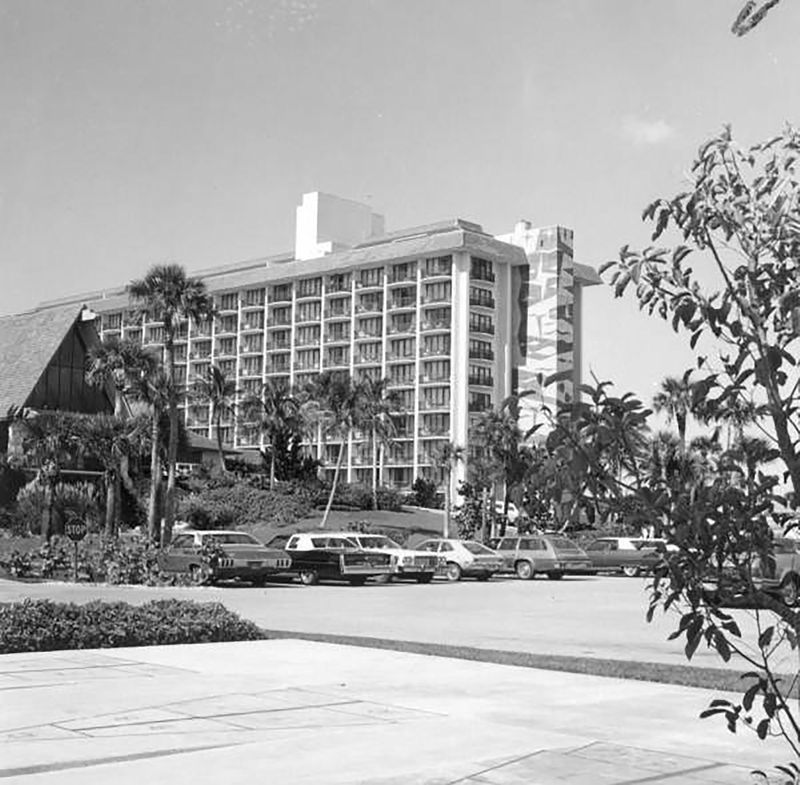
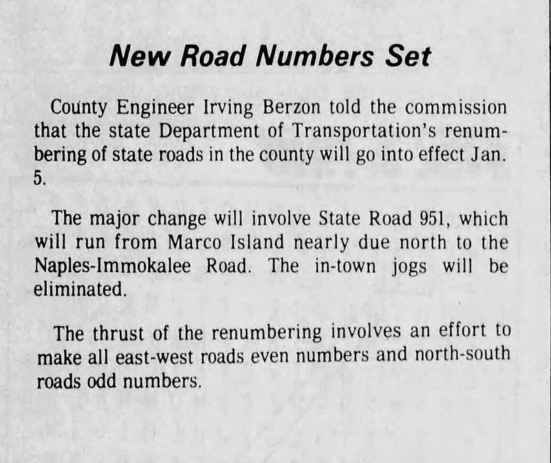
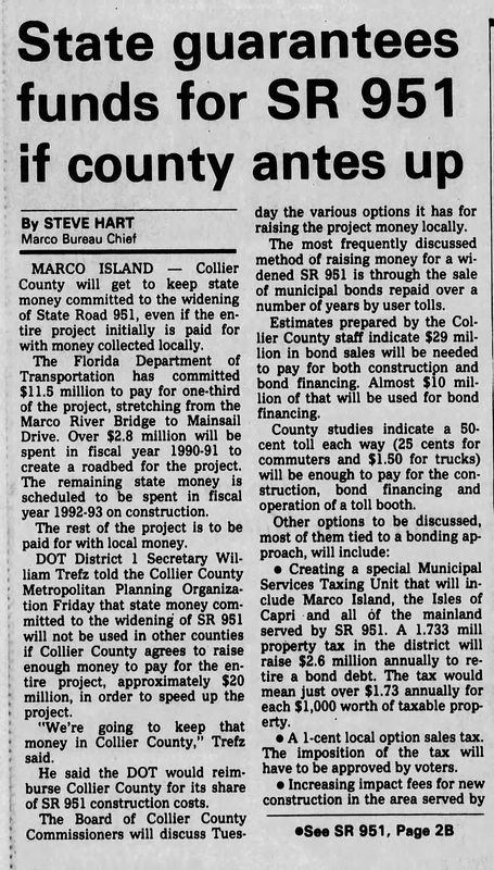
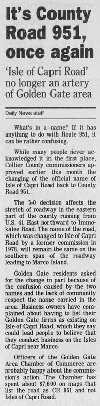
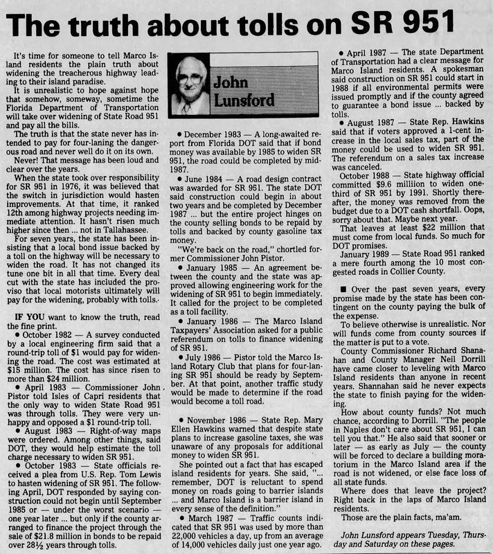
Collier Boulevard stretches from the Caxambas Pass area on Marco Island to Immokalee Road, west of Orangetree – nearly 27 miles. It has many designations, among them CR 951 (county road), for the county-maintained portions, SR 951 (state route), for the state-maintained ones.
The first segment, south of US 41 (Tamiami Trail), was known as Isles of Capri Road. It was built in 1955 on top of an abandoned railroad bed that had previously been the Atlantic Coast rail line to Marco Island from 1927 to 1944. Its construction coincides with the further development of Isles of Capri.

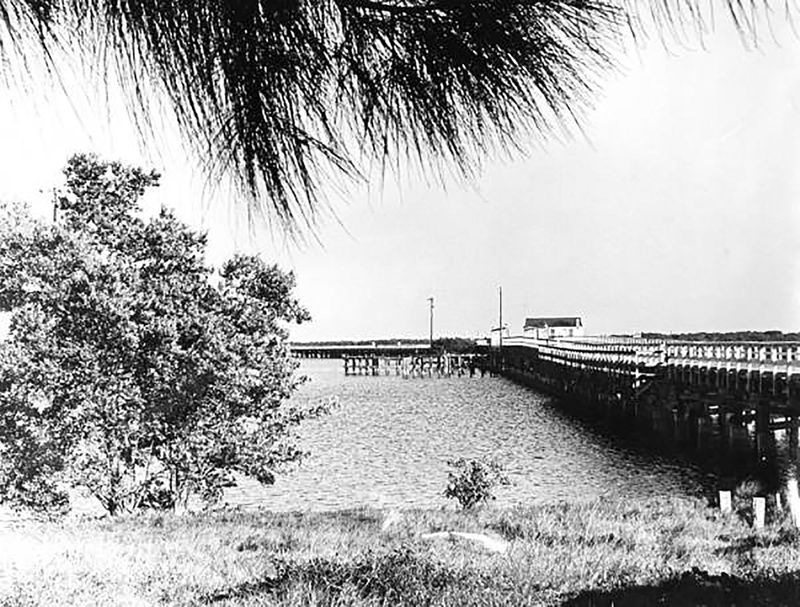
This new road replaced an earlier route, known as Old Marco Road, which ran just to the west of the new construction, and led to a ferry offering service to Marco Island. Ferry service ended in 1938 when the first Goodland Bridge was built further east.
By 1960, the northern section, from SR84 to Immokalee Road was built. Its construction was part of the extension of SR 858, Radio Road. By 1963, it was extended north from 41 to connect with SR 858. This growth was due in part o the popularity of the Swamp Buggy races outgrowing their original location and relocation to the Florida Sports Park.
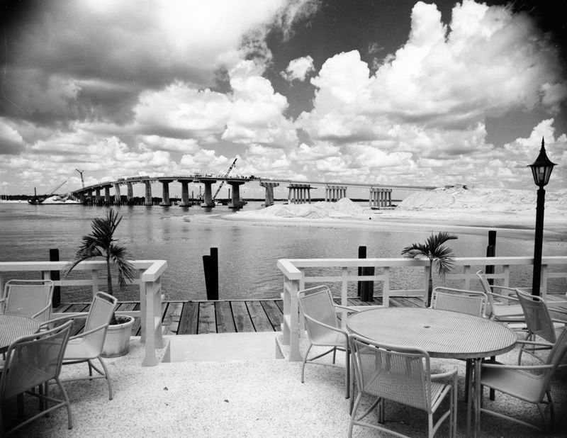
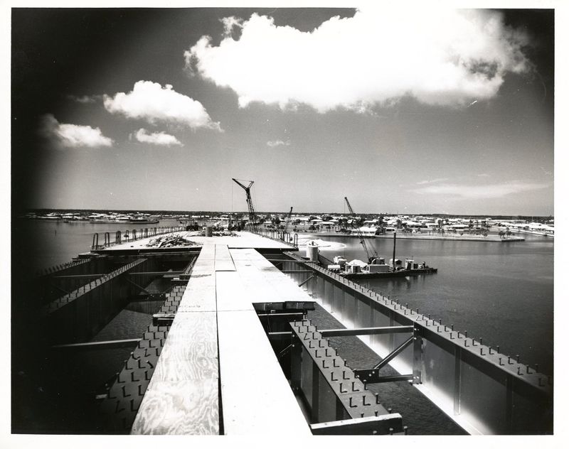
In 1969, Collier Boulevard was extended further south from Isles of Capri to Marco Island as the Marco River Bridge (now the S.S. Jolley Bridge) was constructed.
The I-75 interchange with Collier Boulevard opened to traffic in 1981. As of this writing, that site is currently home to a major overhaul of the interchange that is expected to vastly improve traffic flow.
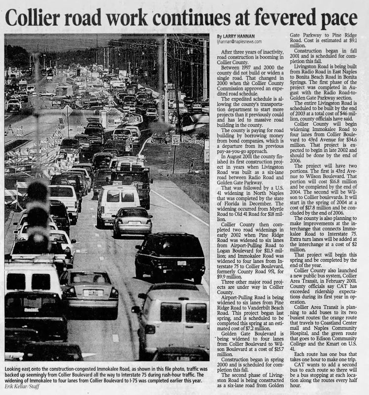
Collier Boulevard is extremely busy, especially in peak season, with traffic estimates traffic potentially ranging from 50,000 to 80,000 vehicles per day.
Several other projects are in the planning stages or are underway to improve and expand the artery, including widening and adding bike lanes and pathways.
Did you know?
SR 951 is the only SR 9- highway that is not located in Miami-Dade County. Krome Avenue, SR 997, is 78 miles to the east; LeJeune Road, SR 953, is another 12.5 miles to the east of Krome.
The southern portion was known as Isles of Capri Road until 2000, when the entire stretch, from Marco Island to Immokalee Road, officially became Collier Boulevard.
Sources: “New Road Numbers Set,” Naples Daily News, Dec. 24, 1975. “It’s County Road 951, once again,” Naples Daily News, March 25, 1993. Both via newspapers.com. Additional sourcing from Collier County Museum’s, the Florida Department of Transportation, Wikipedia and Google Maps.
This article originally appeared on Naples Daily News: From the Archives: Collier Boulevard – From many transportation hubs, to one
Reporting by B.D. Green, Naples Daily News / Naples Daily News
USA TODAY Network via Reuters Connect