Smoke from wildfires in Canada is moving through the Midwest, causing poor air quality in Ohio.
An air quality alert for the region has extended through midnight July 16, as ozone levels are expected to be in the range considered unhealthy for sensitive groups, according to the Southwest Ohio Air Quality Agency.

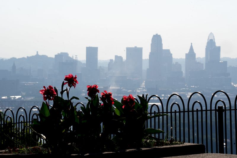
The National Weather Service in Wilmington writes that wildfire smoke is affecting air quality in Cincinnati, especially along and north of Interstate 70. However, smoke may spread into southern and southwestern areas later in the day and overnight.
Want to keep an eye on local conditions? We have a map that tracks wildfire smoke and red flag warnings.
Note: Data is updated hourly based on input from several incident and intelligence sources.
Where are the wildfires in Canada?
USA TODAY reports that more than 830 wildfires are burning across Canada, particularly in northwestern Ontario and neighboring regions, including Minnesota. Smoke from those fires has spread across the Great Lakes, including Ohio, and is forecasted to move toward New Jersey and the Northeast.
Canadian wildfire smoke map
Ohio wildfire smoke map
See air quality in your area
See the live map below to track air quality in your area. Green indicates good air quality, while yellow is moderate and orange is unhealthy for sensitive groups.
Track weather alerts in your area
To track all current severe weather warnings, watches and advisories for Cincinnati and other areas, check out this interactive weather alerts page by clicking here. The data included in this map is updated every 5 minutes.
This article originally appeared on Cincinnati Enquirer: Where are Canada’s wildfires? How to track smoke, air quality in Ohio
Reporting by Haadiza Ogwude, Cincinnati Enquirer / Cincinnati Enquirer
USA TODAY Network via Reuters Connect
By Haadiza Ogwude, Cincinnati Enquirer | USA TODAY Network