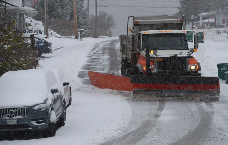
The Mid-Hudson Valley expects a major snowstorm on Sunday, according to the National Weather Service.
Some locations could see more than a foot of snow before the storm is done.

The weather service says Saturday will be mostly sunny in Orange, Dutchess, Sullivan and Ulster counties, with daytime high temperatures in the teens in all four counties.
But then the clouds will roll in on Saturday night, and the overnight low temperatures will be in the single digits in all four counties. There is a 40 percent chance that snow will begin to fall sometime after 1 a.m.
By Sunday morning, the snowstorm will be well under way. There is a 90 percent chance of snow in all four counties.
As much as 8 to 12 inches of snow could fall during the day in Orange County, while Dutchess, Ulster and Sullivan counties will see at least 5 to 8 inches of snow.
USA TODAY’s snowfall map shows accumulation over the past 24, 48, and 72 hours, as well as seasonal totals dating back to Oct. 1.
Updated multiple times a day, the map lets you toggle between timeframes to see how snow is adding up in your area.
Give this map a look to see how much snow has accumulated where you live.
This article originally appeared on Poughkeepsie Journal: What are the snowfall totals for the Mid-Hudson Valley? Use this map
Reporting by Utica Observer Dispatch / Poughkeepsie Journal
USA TODAY Network via Reuters Connect