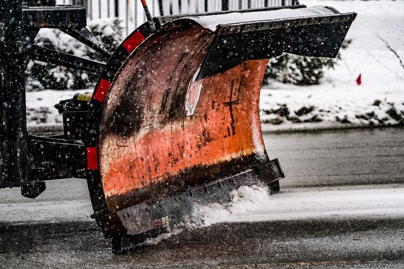
As snow returned to Central Indiana on Dec. 1, road conditions across Indianapolis quickly became hazardous and slick within minutes of the snowfall.
This led to hundreds of people’s evening commutes turning into a stressful white knuckle drive home as the highway speeds dropped to a crawl.

Between 5 p.m. to 7 p.m., the Indianapolis Metropolitan Police Department responded to about 50 calls slide-offs and vehicle crash calls.
As the snow is expected to continue through much of the night and into the morning, people who have early commutes may want to see if their roads have been treated before they brave the icy conditions.
During snowy days, Indianapolis’s Department of Public Works activates its Snow Force map, which showcases real-time information about when roads are plowed.
The map can be found at www.maps.indy.gov/IndySnowForceViewer.
How to see if your Indianapolis street has been plowed
Reading the map
Driving in Indianapolis? Check out this live traffic map, per Waze
Drivers can use a live traffic map from Waze to navigate Indianapolis. The navigation app from Waze provides traffic updates, road condition information and offers directions.
How to check road conditions on Indiana’s highways
The Indiana Department of Homeland Security keeps tabs on travel statuses for every county in the state. Hoosiers can also check INDOT’s TrafficWise website for information about traffic conditions, road closures and travel times on roadways throughout Indiana.
Indianapolis weather radar
Weather travel advisories
Weather info you need
Indiana Weather Alerts: Warnings, Watches and Advisories.
Indiana power outage map: How to check your status.
Internet outages: How to track them.
What you should and shouldn’t do when the power is out.
Your neighbor left their pet outside. Who you should call.
Where to report power outages and downed lines
How to report downed traffic signals or tree limbs blocking a road
If you encounter a downed traffic signal or a limb blocking a roadway, contact the Mayor’s Action Center at 317-327-4622 or online at RequestIndy.gov. When calling after hours, press “2” to be connected.
Indianapolis and Indiana road conditions
Check road conditions, including road closures, crashes and live webcams using Indiana’s online Trafficwise map at 511in.org, or visit our gridlock guide page for live traffic cams and more.
INDOT’s CARS Program provides information about road conditions, closures and width and weight restrictions. The website has a color-coded map of Indiana’s highways and highlights hazardous road conditions and travel delays.
The interactive map also shows road work warnings, closures, roadway restrictions and other information helpful to drivers.
This article originally appeared on Indianapolis Star: When will my street be plowed? Map tracks Indy snow plows and cleared roads
Reporting by Noe Padilla, John Tufts and Katie Wiseman, Indianapolis Star / Indianapolis Star
USA TODAY Network via Reuters Connect