

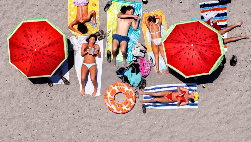
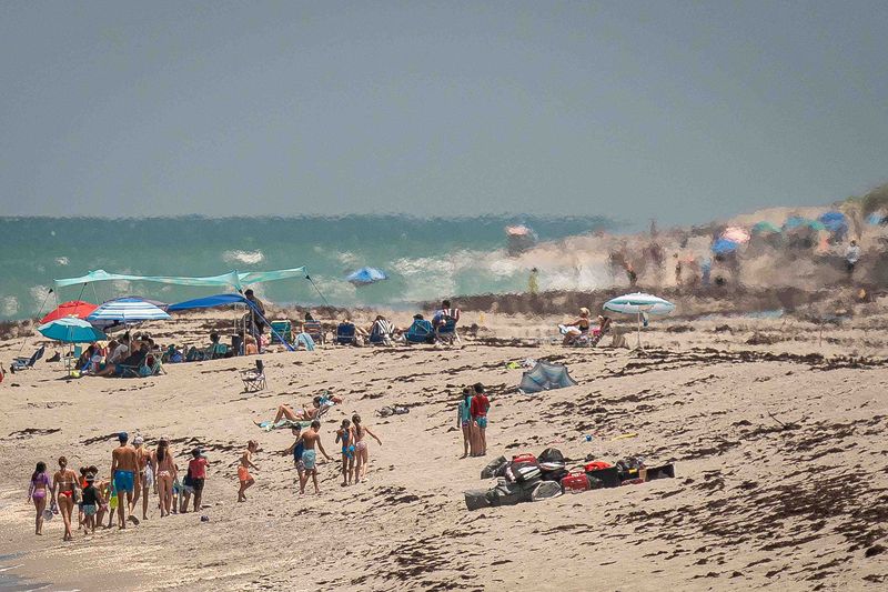
Scorching, unrelenting heat in Palm Beach County will drag on through the weekend as a heat dome blankets Florida.
A heat advisory covered South Florida on Thursday, Aug. 13 and Friday, Aug. 14, and more advisories could be coming this weekend. The maximum heat index — or “feels-like” — temperature will range from 105 to 110 degrees each afternoon through Sunday, Aug. 16, according to the National Weather Service in Miami.

The high temperatures are in the low to mid-90s on Friday, Aug. 14, and closer to 90 degrees on Saturday, Aug. 15. The hottest day this weekend will be Sunday, Aug. 16, which boasts high temperatures in the upper-90s as dry air blows through Palm Beach County, according to Anthony Reynes, a meteorologist with the weather service.
Florida’s favorite AC temperature: is lower than what’s recommended
The chances of rain spike up to 60% to 80% each day through Saturday, Aug. 15, until a new plume of Saharan dust arrives on Sunday, Aug. 16. The dust will cut the chances of rain that day.
During a heat advisory, the weather service recommends that people limit strenuous activities outdoors during the peak heat of the day, stay hydrated, take care of pets and stay in air conditioning when they can. A heat advisory is triggered when there is a heat index of at least 108 degrees for two consecutive hours.
Why is it so hot in Palm Beach County?
High pressure is dominating the region. This limits storms and showers.
Storms are often developing late in the morning or early afternoon, but then moving west and away from the metro area, keeping the air broiling.
The overnight temperatures have also stayed particularly warm this summer in Palm Beach County, usually in the upper-70s and low-80s, Reynes said. This hasn’t given the air a chance to cool off and only encourages it to get hotter during the day.
“Those warm overnight lows are also contributing to us experiencing these these heat conditions and these hazards because as soon as the sun rises, temperatures completely start reaching toward those critical thresholds,” Reynes said.
How to stay safe in extreme heat?
County officials suggest these heat safety practices:
Are there any tropical disturbances in the Atlantic Ocean?
The National Hurricane Center is tracking two disturbances in the Atlantic Ocean.
One is about 1,000 miles east of the Lesser Antilles and has a 60% chance of formation through the next seven days. The system is expected to move into strong upper-level winds and dry air, and the development chances “appear to be decreasing,” according to a NHC update on Aug. 13.
The other is about several hundred miles southwest of the Cabo Verde Islands. It has a 50% chance of formation through the next seven days. Conditions are expected to be “generally conducive for gradual development” and a tropical depression could form late this week or this weekend, according to the NHC. The wave is moving westward or west-northwestward.
Maya Washburn is a Trending News Reporter for The Palm Beach Post, part of the USA TODAY Florida-Network. Reach her at mwashburn@pbpost.com. Support local journalism: Subscribe today.
This article originally appeared on Palm Beach Post: Heat dome to swamp Palm Beach County this weekend. How to stay cool
Reporting by Maya Washburn, Palm Beach Post / Palm Beach Post
USA TODAY Network via Reuters Connect
By Maya Washburn, Palm Beach Post | USA TODAY Network
