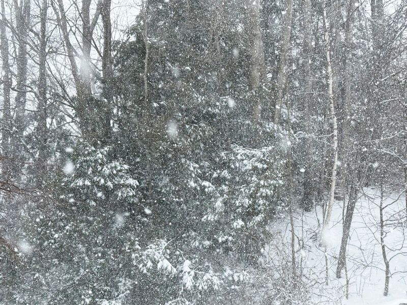
Michigan is bracing for another round of lake-effect snow this weekend, with snowfall expected to accumulate in spots across the Upper and Lower Peninsulas.
Winter Weather Advisories remain in effect for parts of the Upper Peninsula. Strong winds gusting above 30 mph may make travel difficult, particularly over the Keweenaw and higher terrain near Lake Superior.

“A swath of heavy/wet snow is ongoing along the western flank of a storm system racing northeast through the Great Lakes,” the Weather Prediction Center wrote. “As low pressure deepens over Lake Huron Saturday night, a deformation zone of snow will envelope the northern Great Lakes.”
Meteorologists advise keeping an eye on the latest updates as snowbands shift and lake-enhanced accumulation could create localized heavier totals.
How much snow will Michigan get?
Saturday into Saturday night, most of the Upper Peninsula can expect 2 to 4 inches of snow, with localized totals near Lake Superior reaching 6 inches. At some points, snow may fall up to 1 inch per hour, according to the National Weather Service in Marquette.
Widespread light to moderate snow will follow in Lower Michigan, mainly north of I‑96 and west of Highway 131, with 1 to 3 inches possible. Snow squalls could occur Sunday, and gusty northwest winds may cause brief bursts of heavier snowfall in some areas.
The weekend’s snow is part of an active weather pattern that will continue into next week. Clipper systems and lake-effect bands are expected to bring periodic snow through Wednesday, Jan. 14, with temperatures trending below normal.
How cold will temperatures get?
Temperatures will drop steadily through Friday, setting up a chilly weekend. The coldest air arrives Saturday and Sunday nights, producing widespread hard freezes and overnight lows well below normal across the Great Lakes.
Expected overnight low temperature ranges by region:
Michigan weather watches and warnings
On the lakes, northerly winds can reach up to 40 mph, with waves reaching 12 to 14 feet in some spots on Lake Superior. Small Craft Advisories and Gale Warnings are in effect for portions of Lake Huron, Lake St. Clair, and western Lake Erie. Ice accumulation from moderate to isolated heavy freezing spray is possible Saturday night into Sunday and again midweek.
Michigan Upper Peninsula Doppler radar
Stay informed. Get weather alerts via text
Brandi D. Addison covers weather across the United States as the Weather Connect Reporter for the USA TODAY Network. She can be reached at baddison@gannett.com. Find her on Facebook here.
This article originally appeared on Detroit Free Press: Lake-effect snow aims at Michigan. See timing, projected snow totals
Reporting by Brandi D. Addison, USA TODAY NETWORK / Detroit Free Press
USA TODAY Network via Reuters Connect