SHEBOYGAN – Several east central and southeastern Wisconsin communities are under tornado and flood watches as thunderstorms are expected to hit Monday night.
The National Weather Service predicts severe thunderstorms will sweep eastward across central Wisconsin toward Lake Michigan into the early hours of April 14, bringing hail, damaging winds and isolated thunderstorms to areas like Sheboygan, Fond du Lac and Winnebago counties.

Peak hazardous conditions are expected to start at 9 p.m. April 13, with the tornado watch being in effect until 10 p.m.
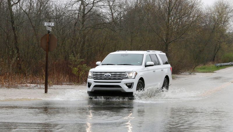
Storms may pose a flooding risk between 1 and 3 a.m. on April 14 before exiting into the lake by 5 a.m. The threat of damaging winds is expected to cross the Interstate 94 corridor.
Thunderstorms will also hit Manitowoc County. The area is under a flood watch until 7 a.m., but it’s not a tornado watch.
More thunderstorms could begin again in Wisconsin around 3 p.m. on Tuesday, with more wind, chance of tornadoes and large hail. The NWS predicts peak storms will hit between 6 and 10 p.m.
Contact Alex Garner at 224-374-2332 or agarner@usatodayco.com.
This article originally appeared on Sheboygan Press: Severe storms could bring hail and damaging winds to eastern Wisconsin
Reporting by Alex Garner, Sheboygan Press / Sheboygan Press
USA TODAY Network via Reuters Connect