The Great Lakes and Northeast are bracing for another cold shot later this month — down to single digits in places — as a polar vortex split in the stratosphere nudges frigid Arctic air southward.
Polar vortex activity is common late in winter and early spring, when the vortex naturally weakens as sunlight warms the Arctic. But this event is different: rather than the “final collapse” — which happens every year when spring air begins to warm temperatures over the Arctic — the vortex is expected to fully split into two lobes, said AccuWeather Lead Long-Range Expert Paul Pastelok.

That structural change can redirect Arctic air in ways that are more likely to affect surface weather across parts of the northern U.S., compared with the vortex simply fading away for the season.
“I was a little surprised that it’s a whole split,” Pastelok said. “It’s a bit stronger (than the normal collapse), and it will likely trigger a pattern change. It could lock in a pattern that lasts. We’ll definitely see some cold shots and late frost — maybe even down into parts of Tennessee and the Carolinas.”
He added, “I do feel like there’s going to be a change toward the very end of the month, and things could get rough again in the East. That’s something to watch if this second push comes to fruition — which we think it will — we could start off with an ugly spring.”
How cold will it get in New York?
With temperatures forecast to run roughly 15 to 25 degrees below normal, nighttime lows across New York could fall into the single digits in many inland areas, with below-zero temperatures possible in the coldest northern and interior valleys.
In upstate New York, the average mid-March high is typically around 40 to 45 degrees, with average lows between 25 and 30 degrees, according to data from the National Weather Service. With the projected departures, daytime highs could struggle to reach the 20s to low 30s across much of the state, while overnight lows may drop into the single digits across the North Country, Adirondacks, and interior valleys, with teens more common across western and central New York and upper teens to lower 20s closer to the New York City metro area.
Late March into early April, a second “push” in the stratosphere — when warming events split the vortex again — could also reinforce a pattern of cooler-than-normal temperatures across the northern U.S., including the Great Lakes.
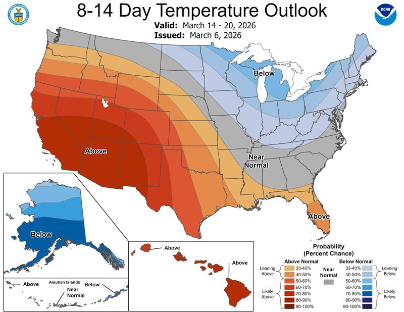
“Looking at the latest surface temperature trends, this shows another potential spread of colder temperatures in the second week of March,” Severe Weather Europe predicted. “There is no coincidence that such an event would follow a split Polar Vortex core and a disrupted northern circulation.”
Is snow expected in New York?
Experts caution that polar vortex events are often overhyped. While a stratospheric split is notable, it doesn’t automatically produce snowstorms or even guarantee record-breaking cold, Pastelok said.
The impact at the surface depends on several factors, including the direction of the polar jet stream, which guides the cold air, as well as moisture moving off the oceans and fast-moving clipper systems.
A polar vortex split primarily pushes frigid air southward. For snow or ice to occur, that cold air needs to interact with a moisture-rich system along the jet stream. Without that combination, the split alone won’t create significant snow — it just brings the frigid temperatures.
For example, the late January winter storm that spread across much of the eastern U.S., even prompting blizzard warnings for the Outer Banks of North Carolina, combined Arctic air pushed south by a vortex disruption with a system of Gulf moisture, creating snow and ice across the Southeast.
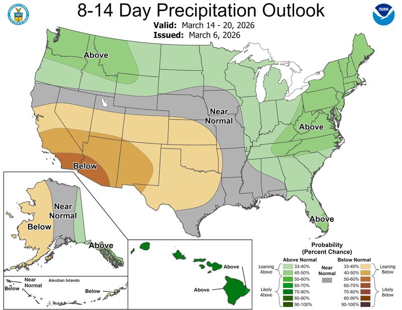
However, maps from the Climate Prediction Center show above-average chances for the region throughout that week.
What is a polar vortex split?
A polar vortex split occurs high in the stratosphere, roughly 18 to 20 miles above the ground, when the normally circular winds around the North Pole fracture into two separate lobes of Arctic air.
Not every disruption at this level produces a split. A wind reversal alone — known as a sudden stratospheric warming — can weaken or distort the vortex without splitting it — and the frigid air can even stay put, dependent on the polar jet stream.
A full split, however, reorganizes the Arctic air more dramatically, making it more likely to influence surface weather at ground level weeks later. It doesn’t always go into the northeastern U.S., but sometimes spills into the western U.S., Europe or Asia.
A polar vortex expert, MIT’s Judah Cohen, told USA TODAY that “another sudden stratospheric warming looks all but inevitable and this time it would be a polar vortex split. This looks to take place at the end of the first week of March.”
But these high-altitude changes don’t immediately impact surface temperatures — it can take one to three weeks for the effects to ripple down, depending on where the vortex lobes settle and how the polar jet stream responds.
Cohen said the warmth could be replaced later in the month by more cold. “I would expect a milder period in the eastern U.S. until close to the spring equinox,” Cohen said. “Then I think eventually colder weather arrives to the eastern U.S. related to the polar vortex split in late March or early April that could hang around for a while.”
What is the record cold temperature in New York for March?
New York has seen its share of frigid late-March weather, and history shows how impactful Arctic air can be when it lingers.
According to data from the National Weather Service offices in Cleveland and Wilmington, the coldest temperature across the state after March 15 are as follows:
Polar vortex helped shape multiple cold weather outbreaks
The polar vortex made its biggest headlines of the winter in late January and early February, as it was a significant factor in the Arctic air that flooded south into the eastern United States, helping produce record cold and memorable snowstorms.
As meteorologists predicted multiple cold snaps this winter, the polar vortex was often one of the many forces at play. After the dust settled, experts found only one example (in late January and early February) where sudden stratospheric warming (and the polar vortex disruption that causes) was the primary cause of freezing weather in the United States.
But disruptions of another phenomenon, the Arctic Oscillation, contributed to frigid temperatures as well.
Experts, including Laura Ciasto, a meteorologist with NOAA’s Climate Prediction Center, tend to describe cold outbreaks as a dance between multiple weather forces.
“It’s been an active winter for both the stratospheric polar vortex and the Arctic Oscillation (AO),” Ciasto told USA TODAY in an email.
Stay informed. Get weather alerts via text
Brandi D. Addison covers weather across the United States as the Weather Connect Reporter for the USA TODAY Network. She can be reached at baddison@gannett.com. Find her on Facebook here.
This article originally appeared on Rockland/Westchester Journal News: Polar vortex split could bring brutal cold to Northeast. Will it impact NY?
Reporting by Brandi D. Addison and Doyle Rice, USA TODAY NETWORK / Rockland/Westchester Journal News
USA TODAY Network via Reuters Connect