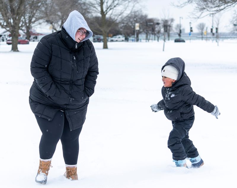
A half inch or more of light, powdery snow will fall across southern Wisconsin Sunday, Feb. 1.
Snow will begin around 11 a.m. along the Interstate 39 corridor. Areas to the west of Madison are most likely to see heavier snow up to one inch.

Another round of snow begins around 6 p.m. and will slowly move toward Milwaukee by 9 p.m. Light snow could continue across southern Wisconsin overnight but should end by 6 a.m.
The snow will move quickly through Milwaukee, said National Weather Service meteorologist Kevin Wagner, but could still create hazards on untreated, elevated surfaces.
“Even though it’s going to be light, … it still can cause some slick travel conditions on some roadways,” he said.
The rest of the week should remain dry until Thursday, when more light snow is expected in the evening and overnight hours, possibly lingering into Friday morning.
Warmer temperatures on Thursday means a wintry mix can’t be ruled out, Wagner said.
“We’ll get a better picture of it in the next couple of days,” he said.
Temperatures will reach 30 by end of the week
Wisconsin finally gets a break from below-zero wind chills this week with temperatures reaching the mid-20s and even the mid-30s by Thursday.
Monday’s high could reach 27 degrees, followed by 22 on Tuesday, 25 on Wednesday and 35 on Thursday, according to the NWS.
The weekend could cool back down, especially in central Wisconsin, with temperatures feeling closer to zero.
While it’ll feel warm after a bitterly cold end of January, those temperatures are average for the first week of February. Typically, highs are around 31 or 32 degrees for the first days of this month.
The NWS’ two-week forecast shows temperatures could trend cooler than average with above normal chances for precipitation, whether that’s snow, rain or a mix of the two.
But those predictions aren’t set in stone.
“These are just the general trends, we can still get some warmer days in there,” Wagner said.
Wisconsin weather radar
Hope Karnopp can be reached at usatodayco.com.
This article originally appeared on Milwaukee Journal Sentinel: Milwaukee will finally get a break from bitterly cold temperatures, NWS says
Reporting by Hope Karnopp, Milwaukee Journal Sentinel / Milwaukee Journal Sentinel
USA TODAY Network via Reuters Connect