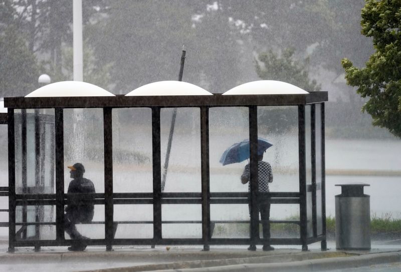
Rain and thunderstorms are possible across southeastern Wisconsin Tuesday, Aug. 18, as a cold front moves into the area.
It’s difficult to predict when those storms may start, said Taylor Patterson, a meteorologist with the National Weather Service in Milwaukee/Sullivan. They may hit the Milwaukee area any time between 2 p.m. and 8 p.m.

That large window depends on both the timing of the cold front and how much moisture develops in the air throughout the day, Patterson said.
“Right now we’re pretty dry. There’s some dry air over southern Wisconsin. If that remains, that will impact the potential for storms – how they develop, and if they develop at all,” she said.
There is a small chance that, if conditions are right, storms could be accompanied by strong gusty winds. However, any severe weather is not expected to be widespread, as the thunderstorms will be isolated, Patterson said.
The cold front will bring in some cooler air to Wisconsin overnight. In the Milwaukee area, the overnight lows will be in the low 60s. Just north and west of Milwaukee, around Fond du Lac, Green Lake, Marquette and northern Dodge and Columbia counties, overnight lows are expected to drop as low as the mid-50s, Patterson said.
Temperatures Wednesday, Aug. 19 may be just slightly cooler, in the upper 70s, but will return to the low 80s for most of the rest of the week, she said.
The rest of the week is expected to be mostly dry, until Friday night into Saturday, when there will be another chance for rain, Patterson said.
Contact Kelli Arseneau at (920) 213-3721 or karseneau@gannett.com. Follow her on X at @ArseneauKelli.
This article originally appeared on Milwaukee Journal Sentinel: Isolated thunderstorms forecast for Milwaukee as cold front moves in
Reporting by Kelli Arseneau, Milwaukee Journal Sentinel / Milwaukee Journal Sentinel
USA TODAY Network via Reuters Connect
By Kelli Arseneau, Milwaukee Journal Sentinel | USA TODAY Network