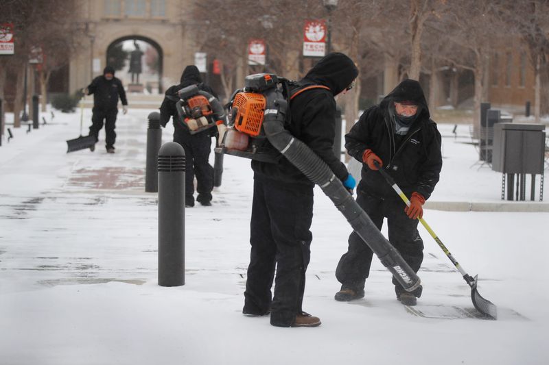
Lubbock and West Texas are definitely in the midst of a winter storm, having already seen freezing rain, sleet, snow and bitterly cold temperatures.
However, the National Weather Service is saying the worst may yet be to come.

Here’s a look at how much precipitation West Texas has received and the NWS’s current snowfall forecast.
How much precipitation has West Texas seen during Winter Storm Fern?
According to the NWS, the region has seen between 1.8 and 3 inches of snow from Jan. 23 to Jan. 25. While that may not seem like a lot so far, that’s amounted to anywhere from a dusting to several inches of snow so far across the South Plains.
Here how much snow several cities saw during Winter Storm Fern:
How much snow is West Texas to get before the end of Winter Storm Fern?
According to NWS in Lubbock, snow, possibly mixed with sleet, is expected to become all snow after 10 p.m. Saturday. Total accumulation is expected anywhere between 3 to 7 inches.
“Heavy snow is still expected tonight, along with the potential for whiteout conditions, making travel difficult to impossible,” reads a social media post from the National Weather Service.
On Sunday, there is still a 50% chance of snow before noon, with new snow accumulation of less than a half inch possible.
Currently, the NWS has issued an extreme cold warning lasting until Monday afternoon.
Mateo Rosiles is a reporter for the Lubbock Avalanche-Journal and USA TODAY Network in Texas. Got a news tip for him? Email him: mrosiles@lubbockonline.com.
This article originally appeared on Lubbock Avalanche-Journal: How much snow has Lubbock, West Texas seen? Here are the totals so far
Reporting by Mateo Rosiles, Lubbock Avalanche-Journal / Lubbock Avalanche-Journal
USA TODAY Network via Reuters Connect