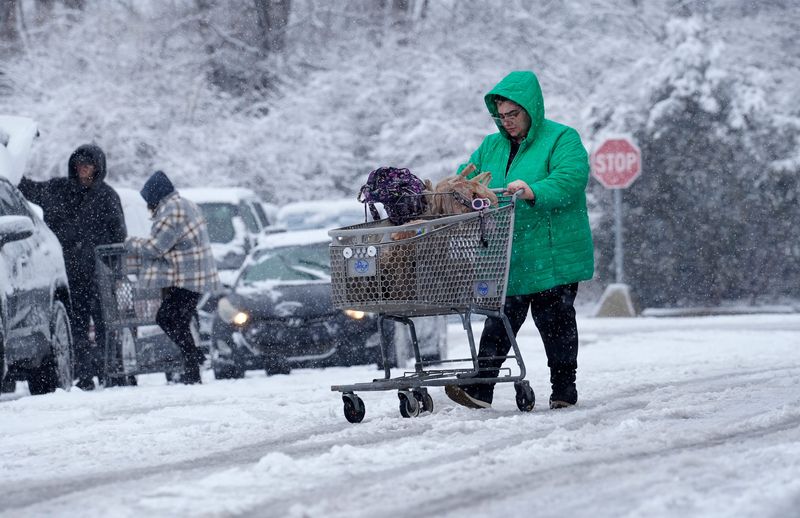
Frost advisories are in effect across much of Ohio this week as overnight temperatures drop low enough to threaten gardens, crops, and outdoor pipes.
Although most of the state typically sees its first frost around this time, temperatures have been consistently above normal, with some Great Lakes cities setting record highs just a few weeks ago.

Is this the start of a consistently cooler autumn, or will warmer stretches return before winter sets in? And for the northern communities, will Lake Erie generate lake-effect snow?
How cold did Ohio get?
Much of those under frost advisories saw temperatures dip just below freezing in the low 30s, according to the National Weather Service office in Cleveland.
Are temperatures finally cooling in Ohio for autumn?
Nighttime lows are expected to dip into the upper 30s to low 40s by midweek before climbing into the low 50s across much of Ohio this weekend. Daytime highs will hold steady in the mid-60s, with a brief warmup into the 80s possible on Saturday, Oct. 18.
Overall, Ohio is likely to see a warmer-than-normal, milder fall, though the return of La Niña could make the winter outlook more uncertain.
When is the first average snow in Ohio?
The first measurable snowfall, of 0.1 inches or more, is expected to reach Ohio within the next three weeks.
On average, Cleveland records its first snow on Nov. 10. Columbus’ average first snow is Nov. 20, Dayton’s Nov. 24 and Cincinnati sees its first snow around Nov. 29, according to data from the National Weather Service.
What is the Old Farmer’s Almanac winter weather forecast for 2025–26?
The Old Farmer’s Almanac winter weather forecast 2025–2026 predicts “mostly mild – with pockets of wild” weather. For Ohio, temperatures may be colder than normal with greater-than-normal snowfall totals in the eastern Ohio Valley.
“Don’t lose track of your snow shovels and umbrellas,” Editor Carol Connare said. “Most areas will experience near-normal to slightly milder temperatures, but from the Appalachians south through the Southeast and Florida, and westward across the Ohio Valley, we’re predicting a colder-than-normal winter.”
What is the lake-effect snow forecast for Nothern Ohio?
Lake Erie is holding onto its heat this fall, according to Chris Vickers, chief meteorologist at WTOL TV-11 in Toledo. And that could mean piles of lake-effect snow in the primary snowbelt east of Cleveland through Erie, Pennsylvania, and to Buffalo, New York.
In an Oct. 15 Facebook post, Vickers said Lake Erie has an average surface temperature of 66.6 degrees in mid-October, which is 3.8 degrees higher than usual. Some areas of the lake show temperatures of nearly 70 degrees. And that warmth goes deep, near the bottom of the lake (the most shallow of the five Great Lakes) in some areas.
And all that stored heat “could be an ingredient that fuels heavier lake effect snows in the coming weeks,” according to Vickers.
What is lake-effect snow?
Lake-effect snow occurs when cold, dry Arctic air moves over a large, relatively warm lake, creating narrow bands of clouds. This phenomenon can produce snowfall that lasts anywhere from a few minutes to several days.
Wind direction is also crucial in determining which areas will receive lake-effect snow. Heavy snowfall may occur in one location while the sun shines just a mile or two away in either direction.
How does La Niña influence Ohio winters?
La Niña tends to shift the jet stream northward. For the Great Lakes region, that historically means colder-than-average temperatures and the potential for above-average snowfall. It also increases the likelihood of polar air intrusions — when the polar vortex, a ring of strong winds that normally keeps Arctic air bottled up near the North Pole, weakens or wobbles, allowing frigid air to spill south into the United States, often bringing freezing temperatures and snow.
In Ohio, La Niña winters often bring colder conditions, especially in northern and eastern parts of the state. Strong westerly to northwesterly winds crossing Lake Erie can fuel lake-effect snow along the snowbelt, impacting cities such as Cleveland, Toledo, and Sandusky. If the lake remains ice-free later into the season, as is expected in milder falls, snow events can be more frequent and intense.
Southern Ohio may not see significant lake-effect snow, but the region can still experience colder-than-average temperatures and occasional heavy snowfall when Arctic air aligns with storm systems.
For example, during past La Niña winters, northern Ohio has seen multiple lake-effect snowstorms dropping several feet of snow in just a few days, while southern Ohio experienced sharp cold snaps and scattered snow events — a pattern that reflects the classic La Niña influence on the state.
What is La Niña?
La Niña — Spanish for “the girl” — happens when the surface waters of the central and eastern Pacific Ocean are colder than normal for several months in a row, according to the National Weather Service. It’s part of a natural climate pattern called the El Niño–Southern Oscillation, which flips back and forth every few years between La Niña (cooler waters) and El Niño (warmer waters).
These shifts in ocean temperatures may seem small, but they can nudge the jet stream and change weather patterns all over the world. While its counterpart El Niño — “the boy” — often brings milder winters to the northern U.S., La Niña tends to set the stage for colder snaps and more volatile conditions there.
When ocean temperatures in the central and eastern Pacific are close to average — not unusually warm like El Niño or unusually cool like La Niña — scientists call it ENSO neutral. Neutral conditions mean the Pacific isn’t giving the atmosphere a strong push one way or the other, so seasonal weather patterns are more likely to be shaped by other factors, like the Arctic or Atlantic oceans.
Ohio weather watches and warnings
Stay informed. Get weather alerts via text
Brandi D. Addison covers weather across the United States as the Weather Connect Reporter for the USA TODAY Network. She can be reached at baddison@gannett.com. Find her on Facebook here.
This article originally appeared on Cincinnati Enquirer: When is the first snow expected in Ohio? See the lake-effect, Almanac winter forecasts
Reporting by Brandi D. Addison and Chad Murphy, Akron Beacon Journal / Cincinnati Enquirer
USA TODAY Network via Reuters Connect