A hazardous weather outlook from the National Weather Service in Wilmington lays out three systems that will bring winter weather to the region through the week.
Rain is expected to move into the region on Tuesday, Dec. 9, turning into snow Wednesday morning. Windy conditions are expected Wednesday, with gusts of 35-45 mph possible.

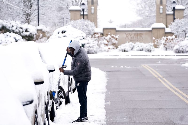
Snow showers are expected Wednesday afternoon into the night causing slick road conditions.
Two systems are expected to affect weather in the region after Wednesday but “but timing, placement and overall impacts are still a bit murky,” according to weather service forecasters.
A system will bring accumulating snow to the region Thursday night into Friday and could impact the Friday morning commute.
A third system will bring additional accumulating snow Saturday into the night with the greatest potential for accumulating snow late in the day and into the night.
An Arctic air mass is expected to settle into the region this weekend with Sunday being the coldest day.
Wind chill values near or below zero will be possible in areas Saturday, Sunday, and Monday morning.
Weather forecast for the week
Tuesday: Partly sunny, with a high near 43. Light south wind becoming southwest 9 to 14 mph in the morning. Winds could gust as high as 25 mph.
Tuesday night: Rain likely, mainly after 4 a.m. Increasing clouds, with a low around 37. Southwest wind 9 to 14 mph, with gusts as high as 26 mph. Chance of precipitation is 70%. New precipitation amounts of less than a tenth of an inch possible.
Wednesday: Rain showers likely before 8 a.m., then rain and snow showers likely between 8 and 9 a.m., then rain showers likely after 9 a.m. Mostly cloudy, with a high near 45. Southwest wind 14 to 17 mph, with gusts as high as 34 mph. Chance of precipitation is 70%. Little or no snow accumulation expected.
Wednesday night: A chance of snow showers. Mostly cloudy, with a low around 27. West wind 6 to 10 mph, with gusts as high as 21 mph. Chance of precipitation is 30%. New snow accumulation of less than a half inch possible.
Thursday: A slight chance of snow after 1 p.m. Mostly cloudy, with a high near 34. West wind 5 to 7 mph. Chance of precipitation is 20%.
Thursday night: A chance of snow. Mostly cloudy, with a low around 26. Chance of precipitation is 50%. New snow accumulation of less than a half inch possible.
Friday: A chance of rain and snow before 1pm. Mostly cloudy, with a high near 37. Chance of precipitation is 40%.
Friday night: Mostly cloudy, with a low around 21.
Saturday: Mostly cloudy, with a high near 30.
Saturday Night: A chance of snow before 1 a.m. Mostly cloudy, with a low around 12. Chance of precipitation is 30%.
Sunday: Mostly sunny, with a high near 23.
Sunday night: Partly cloudy, with a low around 10.
Monday: Partly sunny, with a high near 31.
Source: National Weather Service in Wilmington
This article originally appeared on Cincinnati Enquirer: How much snow will 3 weather systems bring? Timing, placement matter
Reporting by Cheryl Vari, Cincinnati Enquirer / Cincinnati Enquirer
USA TODAY Network via Reuters Connect