If you’re dreaming of a white Christmas, look out your window.
What you see is what you’re going to get, according to the National Weather Service.

“We’re not going to get any more snow between now and tomorrow morning,” said Mike Murphy, lead meteorologist at the NWS’ Binghamton office, speaking on the morning of Christmas Eve. “What you have on the ground is what you get.”
On the other hand, there won’t be any rain or temperatures warm enough to melt the snow that’s already there before Christmas morning, he said. Temperatures should hit the mid-30s by Christmas afternoon so there could be some melting then, he said.
The good news is that those clear skies should help out Santa and his reindeer, he pointed out.
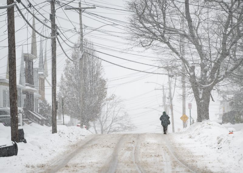
That forecast means that in the Utica and Rome areas, a white Christmas will be limited to the one or two inches of snow currently on the ground, Murphy said. In the Camden area, there are four to six inches already on the ground and in Boonville, a whopping 16 to 18 inches, he said.
Down in the Southern Tier, Binghamton and Broome County got three to six inches of fresh snow on Dec. 23, he said. But that snow bypassed the Thruway corridor through the Mohawk Valley, he said.
The high on Christmas is expected to be near 36 degrees in Utica, but that will drop into the single digits in Utica and to near 0 in northern Oneida County on Christmas night, Murphy said.
Snow and even freezing rain will move in, though, in the days after Christmas with “definitely active winter weather for the next week coming up,” he predicted. And that winter weather could disrupt post-Christmas travel.
Driving should be fine on Christmas and the morning of Dec. 26, Murphy said.
When might we get more snow?
There’s a good chance for more snow, though, in the afternoon and evening on Dec. 26 into early morning on Dec. 27, he said. In Oneida and Madison counties, one to three inches of snow are likely, he said.
And the snow will be from a clipper system, not lake effect, meaning the whole region will likely be affected. But the snow will again hit the Southern Tier harder with three to six inches expected, Murphy said.
“That could definitely impact travel,” he said.
The snow should move out early on Dec. 27, though, leaving the afternoon and evening precipitation free.
But another system will blow in late on Sunday, Dec. 28 and continue overnight, bringing a mixture of rain and freezing rain.
“That could be more hazardous travel, especially Sunday night and even into Monday morning,” Murphy said.
On Monday and Tuesday, Dec. 29 and 30, temperatures will drop, the wind will pick up and there’s a good chance of lake-effect snow across Oneida and Madison counties, Murphy said.
This article originally appeared on Observer-Dispatch: When is and how much snow, rain coming in what’s left of this year?
Reporting by Amy Neff Roth, Utica Observer Dispatch / Observer-Dispatch
USA TODAY Network via Reuters Connect